The workshop, Birds of South Florida with photographer Beth Ruggiero-York and Arizona Highways PhotoScapes, was nothing short of amazing. It ran from February 6-12, 2022, and began in Fort Meyers, Florida on the Gulf Coast. We made our way south, through Everglades National Park, ending on the Atlantic Coast at Boynton Beach. Here are the images from that epic journey.
This is a rough itinerary of our photographic locations should you ever find yourself in South Florida with a camera. Speaking of cameras, all images were shot with a Lumix DX-8 and most with my 100-400 mm lens.
My adventure began with trying to GET to Florida. I was supposed to leave Flagstaff on Friday, February 4th, and arrive in Florida that evening. However, recent winter storms provided me with an alternate plan. Between cancelations, delays, hotel stays, and changing airlines I eventually left Flagstaff Friday evening and arrived in Fort Meyers Sunday around 10:00. The workshop was scheduled to begin at 3:00 that day so I had time to Uber it to the hotel, grab a quick nap, and meet our participants right on time!
The adventure continued when we left the hotel lobby on Sunday afternoon for our first shoot at Naples Pier. We were scheduled for a 30-seat minibus to take us around for the week but walked out to a full-size motor coach that was FAR too large to access some of the parking lots on the schedule. We took it to the pier for lack of a better option. However, following that first shoot we dropped our people off, had the bus driver take us back to the airport where Ron York, Beth’s husband, the other photo guide, had secured us three premium SUVs. Beth, Ron, and I became the bus drivers for the week. Whew! Crisis averted.
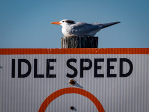
Naples pier was a nice way to begin the workshop and just get out and warm up the old camera. On Sundays, however, the powers that be do not allow fishing, Wait, WHAT?!? No fishing means way fewer birds. Hmmm. We wandered around the end of the pier when someone spotted a few egrets on the roof of the building. YAY! Birds! Again, crisis averted. I only took my 100-400 mm lens out on the pier. We all lined up, aimed our canons, and photographed these characters.
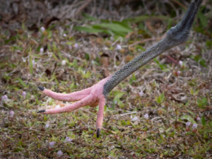
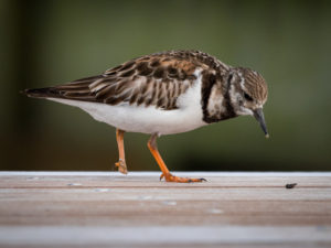 This Ruddy Turnstone was wandering the pier. I hadn’t noticed he had lost a foot until I downloaded the image.
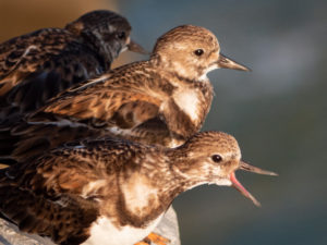 More Ruddy Turnstones squawking out below the railings along the pier.
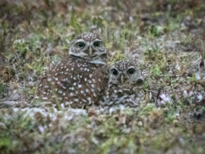
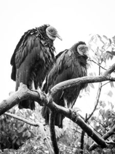
The first official day Beth had us up early and driving out to Cape Coral to photograph the neighborhood Burrowing Owls. They had set up shop between the fences to a set of baseball fields and a street. The houses on that street face the owls. So there we were, lined up and waiting for the little guys to wake up and come out and say hi. 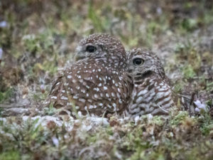
They blend in remarkably well. The owls throw themselves a festival every year. Apparently, they have been living here for quite a few years.
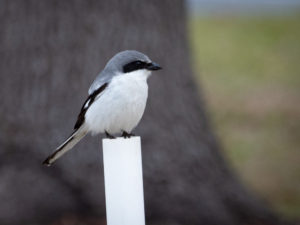 I found this Loggerhead Shrike hanging out on a post.
After leaving the Burrowing Owl neighborhood we headed to Sanibel island stopping at Pond Apple Park, a set of ponds that attract birds, on the way to Ding Darling Wildlife Refuge. We parked in the Matzaluna Italian Restaurant parking lot. The trail entrance is out by the road. The park is about 40 acres and is a place to definitely spend some time.
 This Wood Stork was showing off her new pedicure.
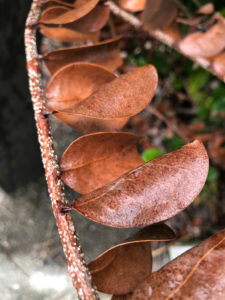
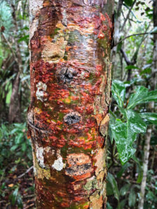
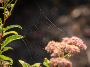
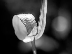
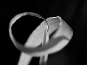
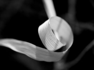
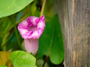 If you can look past the birds there are some pretty cool plants in Florida as well.
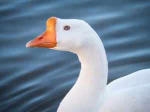
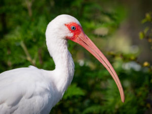 The White Ibis. As common in Florida as pigeons.
Next, we went to the Ding Darling Wildlife Refuge which is part of the largest undeveloped mangrove ecosystem in the United States. It is world-famous for spectacular migratory bird populations.
The refuge was created to safeguard and enhance the pristine wildlife habitat of Sanibel Island, protect endangered and threatened species, and provide feeding, nesting, and roosting areas for migratory birds. Today, the refuge provides important habitat to over 245 species of birds.
We took the four-mile Wildlife Drive, stopping along the way to photograph birds. These were all shot with my long lens.
 Florida Pigeion (White Ibis)
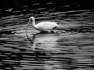
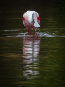 Roseate Spoonbill, a crowd favorite.
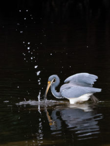 A fishing Tri-Colored Heron.
Monday was one of our longes days because next, we head south to Everglades City for lunch at a food truck and a photography boat tour out among the mangroves.
Everglades City is at the mouth of the Barron River, on Chokoloskee Bay. The Bay is approximately ten miles long and 2 miles wide. It is separated from the Gulf of Mexico by the northern end of the Ten Thousand Islands.
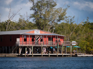 This was our lunch spot. See the green umbrellas behind the building? We ate at those tables. At this point, I believe we were either in or at least at the edge of Everglades National Park.
We then divided into three groups, loaded three different boats, and headed out in three different directions so as to not be in each other’s way for pictures.
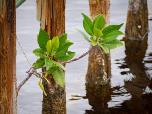
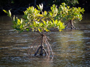 A couple of baby mangroves taking root.
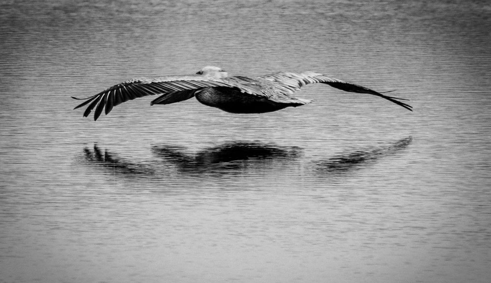
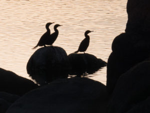
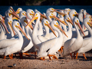 Our captain showed us an Osprey nest, a Bald Eagle nest, a shell island built by Native People over hundreds of years, and a spit of land that housed these White Pelicans. They were chillin’ on the beach until we floated a little too close. They then got into formation, except for the one guy, and tried to march but had nowhere to go. We motored back away from them and everyone mellowed out.
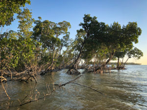 We toured an area full of islands like this. We had a regular prop boat, not an airboat like they use in the thick of the Everglades. All three boats met up at sundown at one particular island where many birds go to roost for the evening. It was quite a sight.
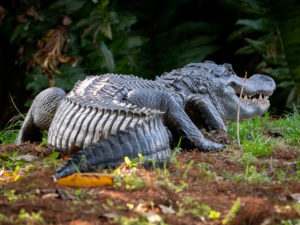
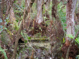
Tuesday morning we started off at Big Cypress Boardwalk. This was in Everglades National Park. Boardwalks are a common way to have trails in the park due to the massive amounts of water. I was also glad to be above any potential reptile run-ins. This was a short walk through a very dense, watery jungle that ended at a more open pond.
The pond had a few smaller birds (as seen above) as well as several Heron and a Wood Stork.
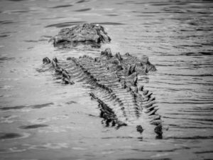
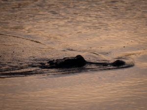
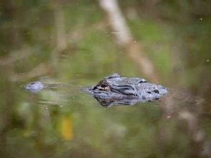 AND! An alligator.
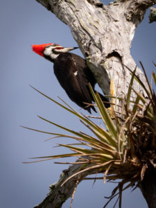 Woody Woodpecker made an appearance on our way back to the vehicles. We heard him for most of the trek in so when he finally made himself seen everyone was quite excited.
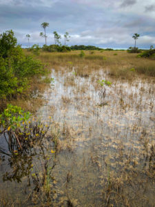
Our final stop of the day before heading to our new hotel in Homestead, FL was an area of the park called Shark Valley.
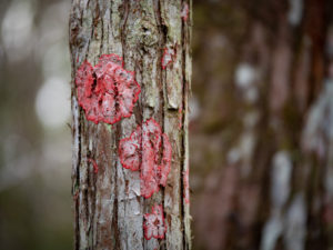
Shark Valley is a geological depression at the head of the Shark River Slough located along the Tamiami Trail (US 41). Shark Valley empties into Shark River in the Ten Thousand Islands of Monroe County. The Valley characteristically includes sawgrass prairie that floods during the rainy season, hence the name “river of grass”—Pa-Hay-Okee, from the Mikasuki language—for such marshes in the Everglades. We will walk the Pa-Hay-Okee trail tomorrow .
Wildlife seen in Shark Valley includes alligators, ibis, wood storks, roseate spoonbills, raccoons, white-tailed deer, and various amphibians. Here’s some of what I saw:
This guy landed on the railing right near us. He looked like he was on a serious mission. The trail we were on was paved and followed a ten-foot-wide “canal” on one side that continued into a deep jungle on the other side of the canal. The opposite side of the path was dense jungle. The sun was out and this was by far the warmest and most humid day we would encounter. coming from the cold winter at 7,000 feet in Flagstaff? I loved it.
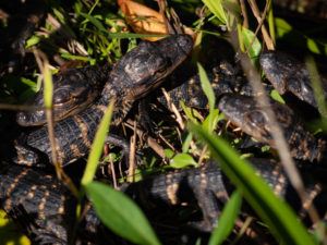 These little guys attracted a crowd. They were literally at our feet in the weeds. Just across the way was mama. She never seemed too concerned, luckily.
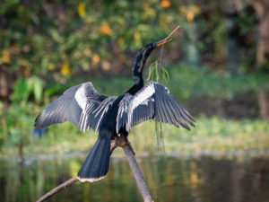
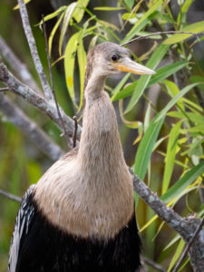 A goofy-looking Anhinga.
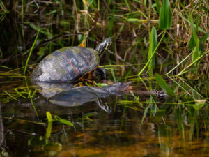 Two different types of turtles, one on the stick and one just below it in the water.
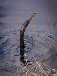 This Anhinga was swimming underwater like a snake. He’d come up for air and usually had a little fish in its bill. It was such a great place to shoot because you could follow his path on the footpath. The canal was narrow enough that the animals were never too far away.
I walked with just a sling and my 100-400 mm lens which made it easy and maneuverable.
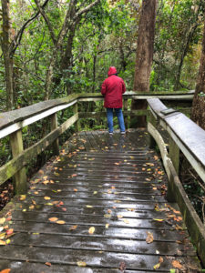
What a difference 24 hours makes. We went from the sunniest day to the rainiest day in that amount of time. Wednesday morning found us at Pa-Hay-Okee Trail. A boardwalk through the everglades. Though it was beautiful, this was not my favorite place to shoot but only because I really don’t consider myself to be a landscape photographer. So I focussed on other things.
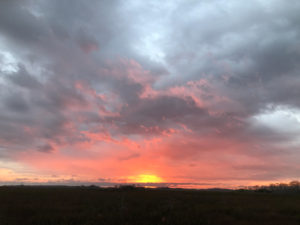 Sunrise was beautiful.
The most difficult thing to get used to in Florida is the flatness. There are no landmarks to help keep your sense of direction intact and on really cloudy days you don’t even know where the sun is.
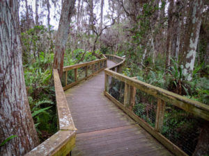
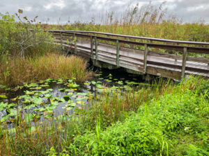 The boardwalks were super cool. Even if I wasn’t super inspired to shoot I was really glad just to be there and enjoy the magic that is the Everglades.
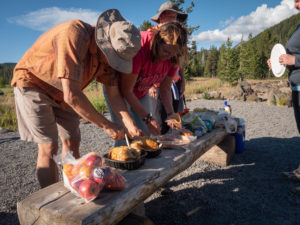
Following this trail, we headed back to town for breakfast. It was really wet so as a way to see something cool but not necessarily stand in the rain with our camera gear we went to the Robert is Here Fruit Stand and Farm.
Robert Is Here is a family-owned and operated fruit stand in Homestead, Florida. They specialize in rare & exotic fruits and vegetables, mostly grown right there on the farm. The location started off as a literal side of the road Fruit Stand and has grown into a complete tourist destination equipped with an animal farm, play area, and picnic tables. It was a pretty cool way to spend an hour and let the rain dry up if only a little.
You could also purchase chocolate or gummy alligators.
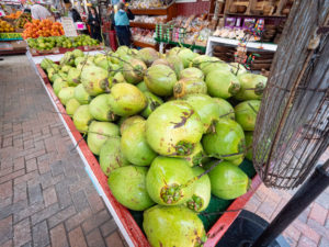
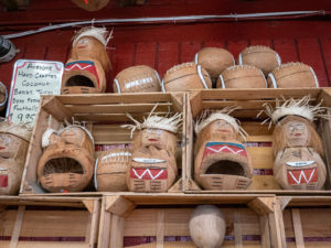 Read the sign to the left of the coconut carvings to see what they actually are.
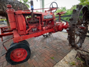 They also had quite the collection of old tractors.
From there we were off to Anhinga Trail
There weren’t as many birds here as in other locations. We chalked that up to the rain.
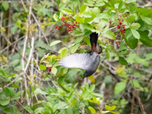
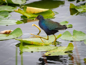 This Purple Gallinule has some BIG feet! He uses them to run across the tops of the lilypads. In sunlight, he is VERY iridescent. But seriously, those FEET!
 Hanging out in the rain.
From here we headed to Flamingo, FL. This was one of my favorite places to shoot. There was so much going on here. Between the raindrops, we saw a crocodile (not an alligator ), a nesting osprey, and manatees. We also grabbed lunch here at another food truck. Restaurants in the Everglades are hard to come by.
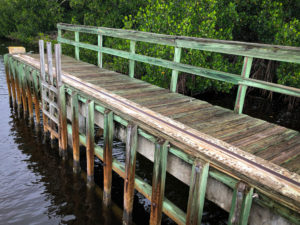
There was a marina here in Flamingo. Also, an old pier.
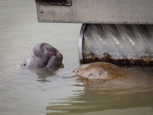 The manatees were drinking drips coming off the floating dock.
Our final stop of the day was Mahogany Hammock Trail, another boardwalk. A Hammock is hard to explain but I’ll try.
A hardwood hammock is a dense stand of broad-leafed trees that grow on a natural rise of only a few inches in elevation. Hammocks can be found nestled in most all other Everglades ecosystems. In the deeper sloughs and marshes, the seasonal flow of water helps give these hammocks a distinct aerial teardrop shape.
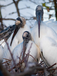
On Thursday morning we drove from Homestead to Boynton Beach, FL. Our afternoon shoot was at the Wakodahatchee Wetlands. The Wetlands are constructed on 50 acres of wastewater utility property. Wakodahatchee features a three-quarter mile boardwalk that crosses between open water pond areas and islands with shrubs and snags to foster nesting and roosting. This site is part of the South section of the Great Florida Birding Trail. Over 178 bird species have been identified there, along with turtles, alligators, rabbits, fish, frogs, and raccoons.
Each day, the Southern Region Water Reclamation Facility pumps approximately two million gallons of highly treated wastewater into the Wakodahatchee Wetlands, which in turn acts as a percolation pond, returning billions of gallons of freshwater back into the water table.
We photographed this area for about three hours each Thursday evening and Friday morning. It was so great to experience the difference between evening bird activity and morning bird activity. Watching
 Apparently the week before, these guys were falling out of trees it was so cold.
 There was a LOT of nesting and courtship activity.
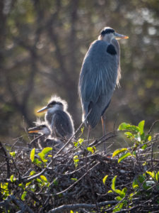 Baby Great Blue Herons!! They are definitely ugly cute. They were the only babies I saw. The rest were in preparation.
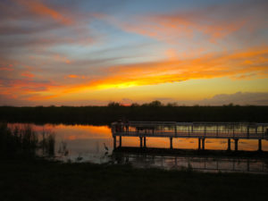
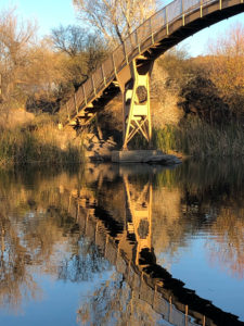
We ended the workshop at Loxahatchee National Wildlife Refuge. What a beautiful place. I can’t wait to go back with my bike and bike some of the trails. They also have a canoe trail I’d love to explore.
There is a trail behind the visitor center, a boardwalk trail, that goes through a deep, dark cypress grove.
Once we left there we headed out to the end of the road and found this:
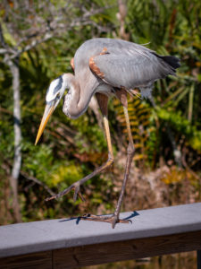
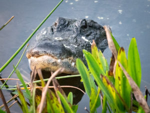
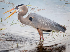
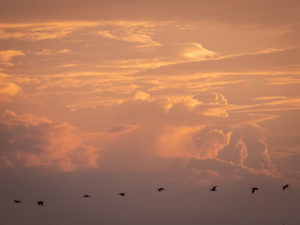
This dock saw plenty of action. Just to the left of it is the Great Blue Heron. Somewhere below is the alligator waiting for the fisherman to catch something he can steal. And in the distance flew flocks of birds heading across the setting sun to their roosting place.
I chatted with a lady who had been out kayaking. She and her friend took the wrong channel and ended up out where they should not have been. The channel closed up and when she got out to move her boat along she realized she was a foot or two from an alligator. Yikes! Glad they made it back safely!
Wow, that was a long post. It was a spectacular trip. Keep p in mind that these pictures are only the tip of the iceberg. I came home with over 4,000 images. I have since edited them down to just over 1,000 but still, these only tell part of the story.
I highly recommend this workshop and I think it will be offered again in 2023 so look for it on the Arizona Highways PhotoScapes website.
I hope you enjoyed my trip to Florida, thanks for looking.
Happy Shooting!
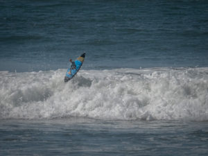
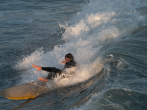
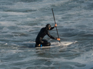
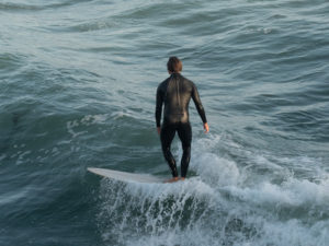
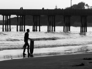
 Now, on to the dedication part. The temps were in the high 40’s each morning. These guys were decked in full, hooded wetsuits WITH booties. No thank you. Too cold for this lover of oceans.
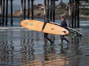 Even in Cayucos, near the pier, in the afternoon temps of mid-60’s, full wetsuits, booties and hoods were the norm.
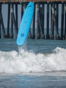
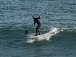
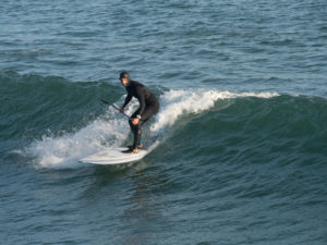
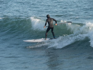
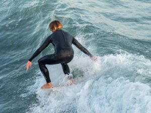
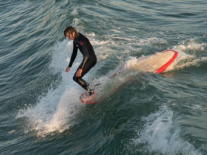
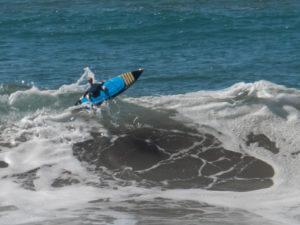
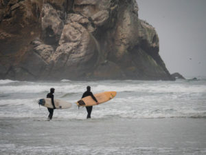
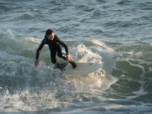 There were a couple of young guys out on their short boards working the waves.
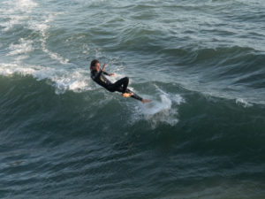
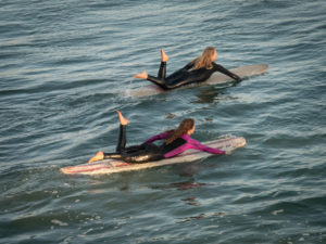 These two joined the mix late in the afternoon. They seriously looked like synchronized swimmers heading out on their boards with pointed toes at the ends of legs that were moving up and down in a rhythmic kicking motion timed to their arm strokes. The boys became less focussed once these two showed up. 😉
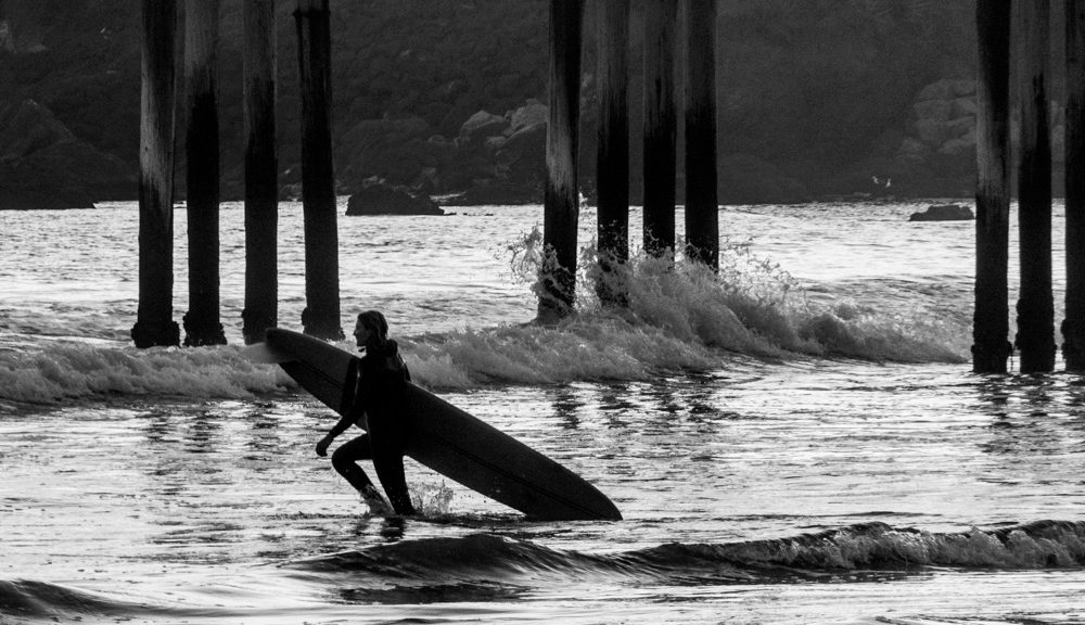
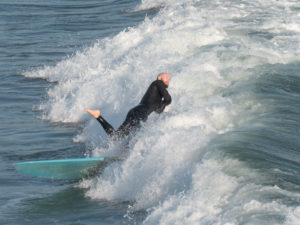
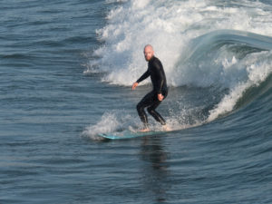
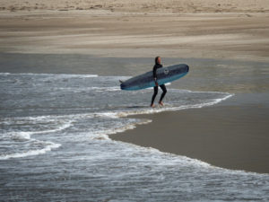 At the end of a session, walking out of the surf on a lonely beach shows the potential solitude of surfing.
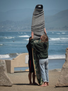 This was new to me. Covering a board before loading it up after a morning in the water.
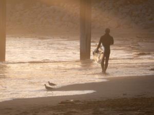 Back in Cayucos, the sun setting and a lone surfer calling it a day.
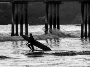
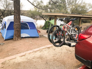
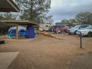
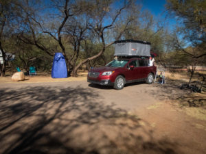
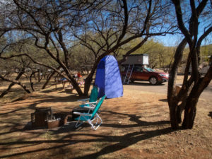
 Another view of our camp.
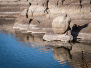
 This body of water is only two and a half miles long and 250 surface acres. A bit of a pond compared to what we’re used to at Lake Powell where we spend our summers canoe camping and paddleboarding.
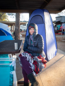 The next morning was cold, like 24 degrees farenheight cold. Since we don’t have a heater in the tent, we got up, made coffee and tea, and went exploring.
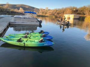
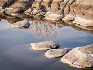
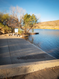 We found the other boat ramp (again, quite small compared to Lake Powell).
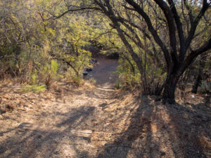
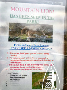
 Here’s a funny story. We were in the RoofNest last night and Ellen realized she hadn’t taken out her disposable contacts. She decided to just drop them out of the tent and she’d pick them up off the pavement in the morning. Having forgotten all about them we returned after our morning coffee/tea exploration to change out of our winter layers and low and behold! What’s this on the side of the car?? CONTACTS!!
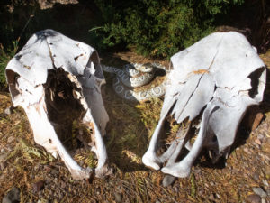 Our next order of business was to get on our bikes and explore the park. Turns out it’s really not a mountain biking park. Lots of trails but not for bikes. Our goal was to ride up to the ranger station to get our tag and explore the RV section for possible future sites. As we left the ranger station I turned to look at the skulls and jumped as the snake caught my attention. I didn’t have time to reason that snakes aren’t out in these cold temperatures.
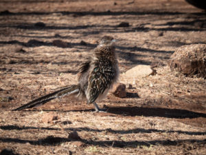 On our way to the trailhead we happened across this roadrunner lurking about the RV’s. We stopped to watch him (or her) and apparently we ruffled its feathers! I’d never seen such a thing in a roadrunner. Fellow birders said it’s common and that roadrunners like to hang out with people and demand food. Who knew?
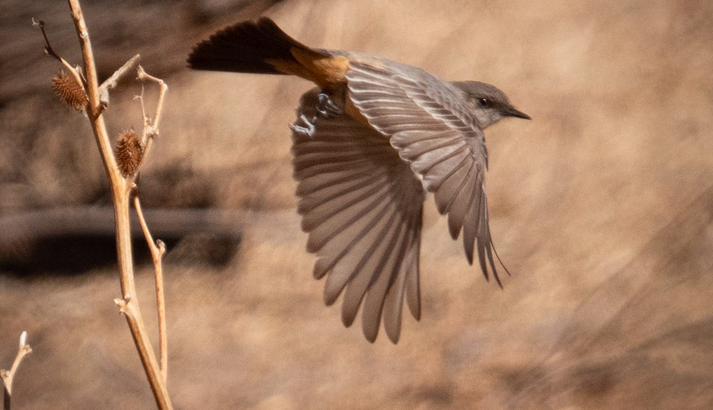
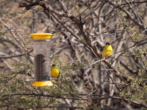
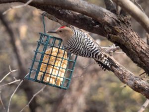
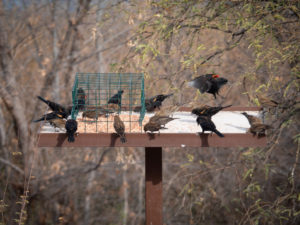
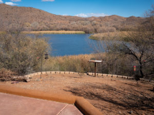 The entrance to the birding trail has a lovely spot with bird feeders that attract all kinds of feathered friends. It was nice to just sit and watch through binoculars and a longish lens (28-300) and try to capture their antics.
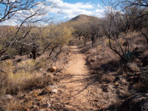
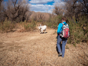 Our trail was blocked by these two calves. Mama was close by so we gently approached the siblings and continued on our way.
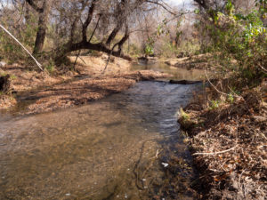
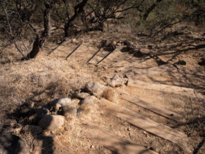
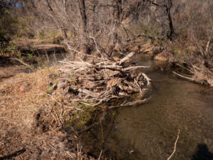 In this image, you can see flood debris probably deposited during the monsoon season.
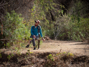 There were random benches along the trail.
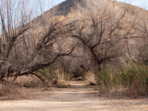
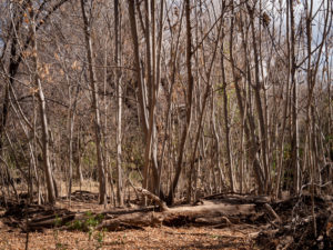 The pathway cut through forests of cottonwood and mesquite. However, in one section was a stand of these trees.
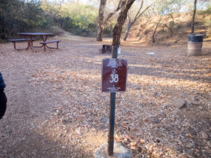
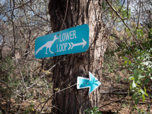 Here’s the funny thing about these signs. There is a Lower Loop and an Upper Loop. They are the same loop. One goes to the right, the other to the left. And there is no elevation change to delineate it as upper or lower. Weird.
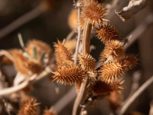 Cockleburs. These were found on the local cows. Poor things. These guys are no fun for dogs to pick up either.
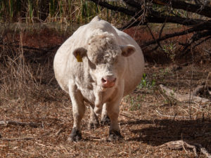 On our way back we ran into this guy. Holy COW!! or STEER!! or BULL!! He was so big I had to photograph him straight on to show his girth! I thought she was pregnant then realized she was a he.
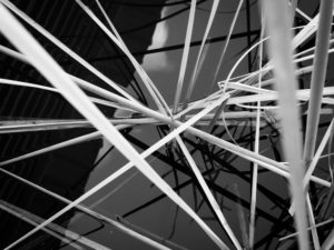
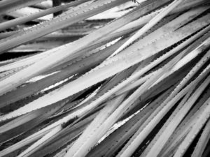 What would a Vicki Shoot be without some patterns?
 It was on this trip that we decided to become birders. We downloaded the Audubon App and began attempting to identify birds. We started with the easy ones.
 The Mesquite tunnel.
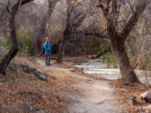 Some of the mucky water early in the trail.
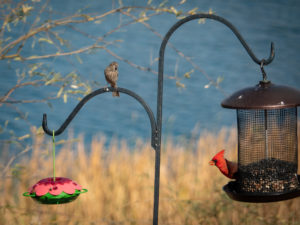
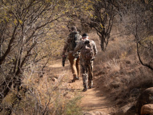 Random bow hunters passing us and heading out onto the trail. They said they were hunting deer and javelina.
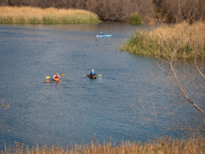 We also vowed to bring our inflatable paddleboards with us next time.
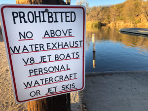 This sign is at the boat ramp.
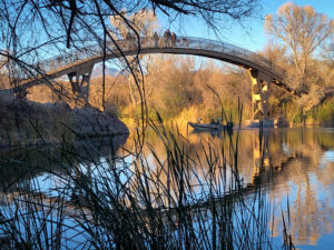
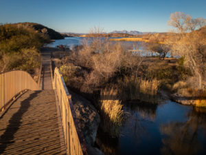
 This is the path running alongside the marina.
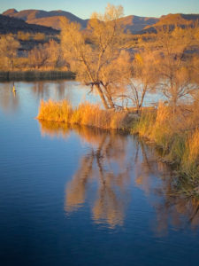
 The reeds are pretty.
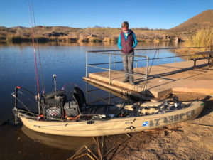 We ran into our #103 neighbor in his rigged out fishing kayak. It seems he grew up coming here from Tucson and is now bringing his wife and own children to his beloved park.
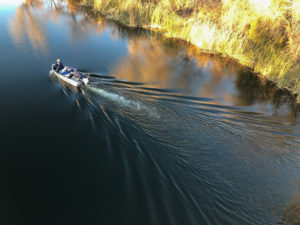
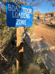 Boat tours? Cool.
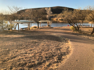
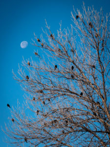
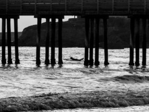
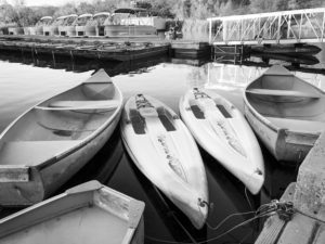
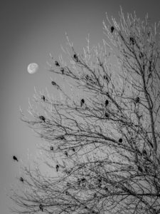 Same picture, color vs black and white. Do you have a preference?
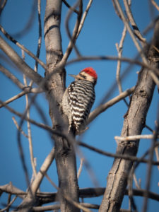 This is why I need a longer lens! Great bird, blurry shot!!
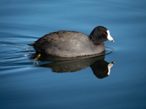 This fellow greeted us down at teh swimming beach. They seemed pretty tame and especting food.


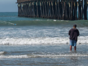
 Walking by the Navy vessels on our way to dinner one night I captured this guy fishing at the base of an aircraft carrier.
 Patterns in nature…
 A more than life-sized statue kissing his girl after returning home from WWII.


 Finding a random California Poppy among all of this cement was pretty cool


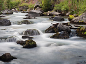
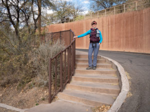
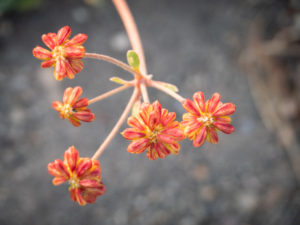
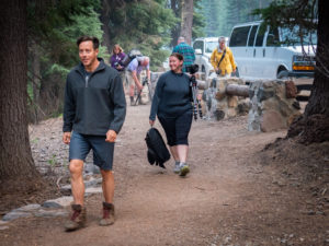 Heading off on the little wildflower hike with our fearless leader.
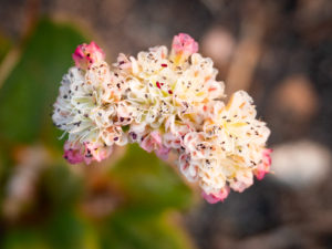
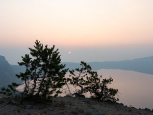
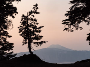
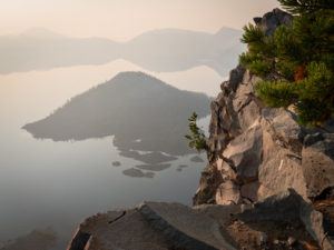
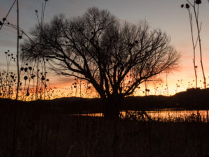
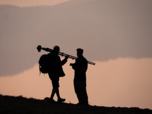 I got some great silhouettes as our photographers attempted to capture images of the lake.
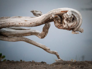
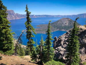
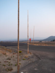 We kept driving by these poles all over the park. Apparently, they are snow poles so you can see where the road is when it snows! Imagine that much snow!! Hence why the park closes for winter.
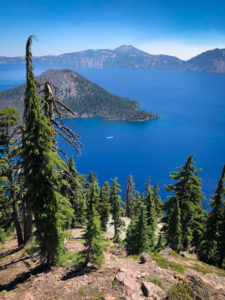
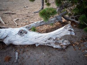 Faces were everywhere.
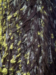 This tree looked like it was growing a fur coat for winter. One side had dark hairy looking moss and the other side bright green.
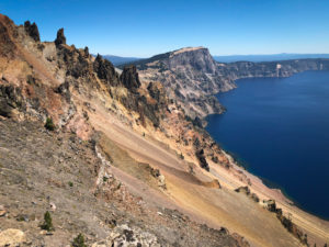
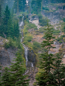
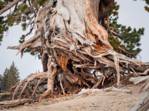
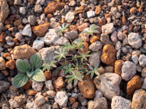 In this area of the park orange and white pumice were everywhere. It’s always interesting to me to see where plants take root.
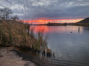
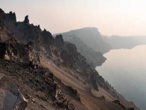
 Winter hours have the park closing at 6:00 pm which is plenty of time to catch the sunset without having to stay out too late.