We’re BACK! After nearly three months of nearly constant travel Ellen and I have found ourselves at home for a whole month and, I think I’m finally ready to settle down and weed through the images of two major trips. I’ll start with our first one, the seven-week epic tour of the southeast – midwest -and then home to Flagstaff.
I say three months because we left home in our rig on April 1 and returned on May 20, 50 days later. Then, on June 8th we flew to Washington D.C., trained up to New York City, and flew home on June 28th. Now we’re home for a month before heading off to California and Washington State. I’m going to go through the driving trip first.
With nearly 3,500 images to sort through and what seems like as many experiences, I’ve decided to break it down for you via keywords. For those of you who don’t know, keywording is a system photographers use to locate needed images in the future. For example, in this first set, I’ve assigned the keyword “Coyote Hawk” to each of the images. Then, when I need images of our rig for this trip to write about, I go to the metadata search area in Lightroom, click on April and May, go to the next column, click on Coyote Hawk, and presto! images assigned with these words appear. From that, I can choose the ones to export and upload to the blog!
I recently learned a new trick in Lightroom that has been life-changing. They have keyword PRESETS!! Wait, WHAT?!? You mean I don’t have to type the words in EVERY. SINGLE. TIME?? Excellent, I’m IN!
I created a preset called AA-Main Themes. The AA is just so it shows up at the top, in alphabetical order. It allows me to easily access, at a click, nine words to assign to images to begin the process of keywording. Here are my nine main themes: buildings, art, food, transportation, urban, signs, nature, people, and music. Most images will get one if not two of these words assigned and I don’t have to take the time to type the words repeatedly, it’s a simple click of the mouse.
That was my aha moment in working with these pics so now let’s move on to the stories of this trip.
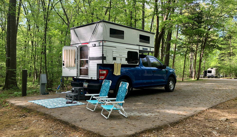
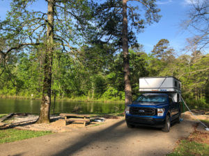
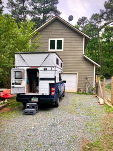
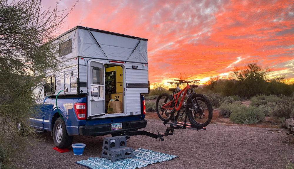
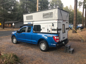
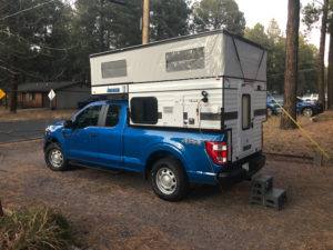
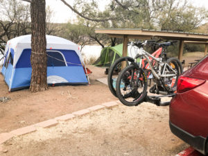
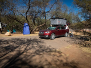
As I stated earlier, this first set of images will be about our camper and what became our home away from home, literally. We had taken Coyote Hawk out for about a dozen nights between November 30th when we picked her up and April 1 when we left for Portal, Arizona. We were still working Tuesdays-Fridays so our camps were only two to three nights at a time, every few weeks; hardly enough time to get into a real rhythm.
What happened on this trip in regards to our relationship to our home on wheels is nothing either of us expected. We figured we’d be SO ready to be home after seven solid weeks on the road, but we weren’t. Coyote Hawk came to provide us with such feelings of safety and comfort that we actually preferred staying in her rather than moving into the comforts of the homes of friends and family we visited.
What’s funny is that people, bless their hearts, thought they were doing us a favor by offering for us to stay in their homes. What happened on this trip is that our camper BECAME our home. The bed was comfortable, our stuff all had a place, and we created systems and rhythms with each other to make our little space a literal home on wheels.
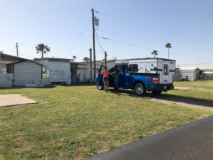
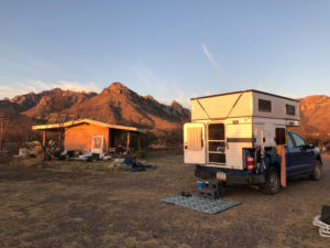 Our first three nights were spent in Portal, AZ. It’s a little community located in southeastern Arizona not far from the Mexican border. Our good friends have a lovely piece of land there just east of Chiricahua National Monument. It was a great place to land on our first big driving day in Coyote Hawk. Heading out from Flagstaff was mostly downhill so we got crazy good gas mileage; 22 mpg to be exact.
At camp, we generally need two things: a shower and a toilet to go #2 in. We have a small, nighttime toilet we use to pee in and an outdoor shower if we need it. Luckily these guys let us use their toilet.
After three nights and two days with our beautiful friends, we headed to Texas. We crossed New Mexico on Highway 9, drove through El Paso, and ended up in Junction, Texas, and South Llano River State Park.
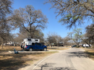 We LOVED this park. We wished we had brought our bicycles, as there was some riding to be had. This is also where we got to interact with armadillos for the first time. That will be in a later post.
By April 6th we were heading to Padre Island National Seashore.
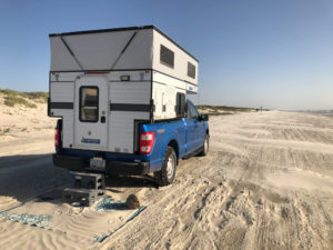 It turns out that in Texas one can just drive on any beach and camp. Pretty cool. As you can see we were quite a distance from any other camp. But as you can also see, the winds had picked up the afternoon before, blew hard all night, and blew sand all over our mat. It blew so hard that we moved our truck, in the middle of the night, to face the wind and try to reduce some of the rocking from the gusts. Needless to say, with fine sand blowing everywhere and no relief in sight, we called it after one night and headed to Harlingen.
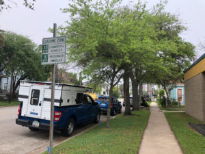
We were supposed to be in Harlingen for two nights, and one day and that one day was to be spent seeking out Ellen’s childhood home and neighborhood. We instead added our Padre Island time and ended up being there for five nights, four days. We were actually in Walasco, TX staying at Magic Valley Park. It was billed as an RV park but this is what we got, a slab of concrete in some grass, surrounded by mobile homes, 95% of whose residents had just left to go back to Canada. It turned out to be a really nice, safe place to camp. We had laundry facilities, a pool, a hot tub, and a shower and bathroom at our disposal.
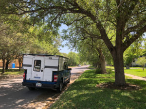
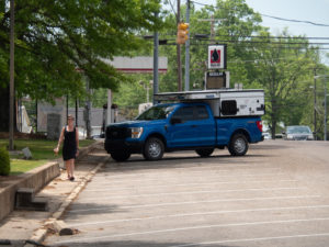
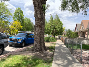
Coyote Hawk was also our daily drive. Luckily she was easy to maneuver on city streets. Here she is parked on Ellen’s childhood street.
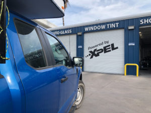 One of the upgrades we decided our rig needed was to tint the truck’s windows. Wow, what a difference it made with the sun and heat.
 From Harlingen, we headed to Houston to stay with cousin Dave and his husband Bong. We easily could have camped in the driveway but were invited into an upstairs room and private bath. It was here that I think we began to realize that staying in the camper is easier and just as, if not more, comfortable for us.
Following Houston, we headed south to spend two nights at a KOA on Galveston Island. It was a KOA Holiday property and had a very country club/resort feel. Not exactly our style. But it worked, was close to the beach, and had laundry, shower, and bathroom facilities, so we were good.
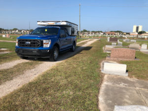
Again we were happy to have a smaller RV as we parked on city streets and meandered through cemeteries in Galveston.
After only two nights and a day to explore Galveston, we headed to Lousiana and Fontainebleau State Park. It. Was. Beautiful. We LOVED it there and again, wished we had bicycles. We spent four nights there, and three days.
On all three days we drove the 25-mile-long causeway over Lake Ponchatrain twice into New Orleans, and once to visit the Whitney Plantation.
From NOLA we headed north into Mississippi to see another of Ellen’s childhood homes in Houston, MS We camped at Davis Lake Campground 20 minutes from Houston. We parked at the town square and wandered around a place where Ellen and her family lived in the late 1960s for 18 months.
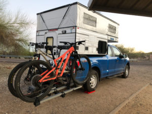
 The next stop was Henry Horton State Park just south of Nashville, TN. This was another park we loved and wished we had bikes to explore with. We didn’t bring the bikes as we didn’t want them hanging off the back, ripe for theft, as we visited the cities on our trip. Stay tuned and you’ll see what we came up with.
We stayed here for two nights and a day. We’ve decided that, when possible, a layover day is a must. It’d be a shame to pull into such a beautiful park in the afternoon only to have to pull up stakes and head out first thing in the morning.
 THIS two-night, one-day experience was all about Dollywood! We stayed at The Ridge Resort in Sevierville, Dolly Pardon’s hometown. The RV park had a LOT of concrete, very manicured lawns, twice-daily trash pick-up (I’m serious), and giant bus-sized RVs surrounding us. We felt like we used to after canoe camping at Lake Powell and paddling over to the restaurant for a meal and mixing with all the clean houseboaters. We were a bit out of our league.
Following Tennessee, we headed to our friend’s house in Weaverville, NC, just outside of Asheville, NC. No pics were taken of this camp as we parked in an out-of-town neighbor’s driveway and stayed in our friend’s house. It was a lovely time hanging out with Trish, Paul, and the pooches.
Here we are in Hillsborough, NC at my cousin Wendy’s home. This is her barn and that window on the second floor? that’s our little one-bedroom apartment. It was a lovely private space and we SO appreciated being offered to stay there, which we did, but, as I stated earlier when we visit again, we’ll just stay in the Hawk.
From North Carolina, we went through five states to get to Cincinnati, OH, and visit our beautiful family of Evonne, Rob, and Akacia. We camped 20 minutes away in Winton Woods Campground. It was a wonderful five days, six nights with family.
From Cincinnati, we traveled to Sugar Bottom Campground just outside of Iowa City, IA. We met the most lovely people there but oh my God it was hot and humid. That was a two-night, one-day layover on our way to Nebraska.
In Nebraska, we stayed at the Puncochar Family Farm. It has been in the same family for over 100 years. Yes, we parked next to a dumpster, but it’s full of building supplies as the house out of sight to the right of the truck is being renovated. We drove to the farm on Thursday, May 12th, stayed Friday, Saturday and headed to Denver on Sunday.
In Denver, we stayed in the basement of my brother’s home. There was no other option. The above picture reinforces for us how well we chose the size of our rig. We were able to park in downtown Denver without a problem.
This post kicks off the blog series that will tell the stories of all those images posted to Facebook in April and May of our epic spring adventure. Thanks for tuning in and I hope you enjoy revisiting the adventure!
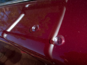
 The other item we recently fixed, with the help of our brilliant friend Rod Horn, was the after-market backup camera. Ours disappeared when we took off the tailgate. Rod machined a bracket that goes over the license plate and he was able to attach the backup camera to it. Works like a charm.
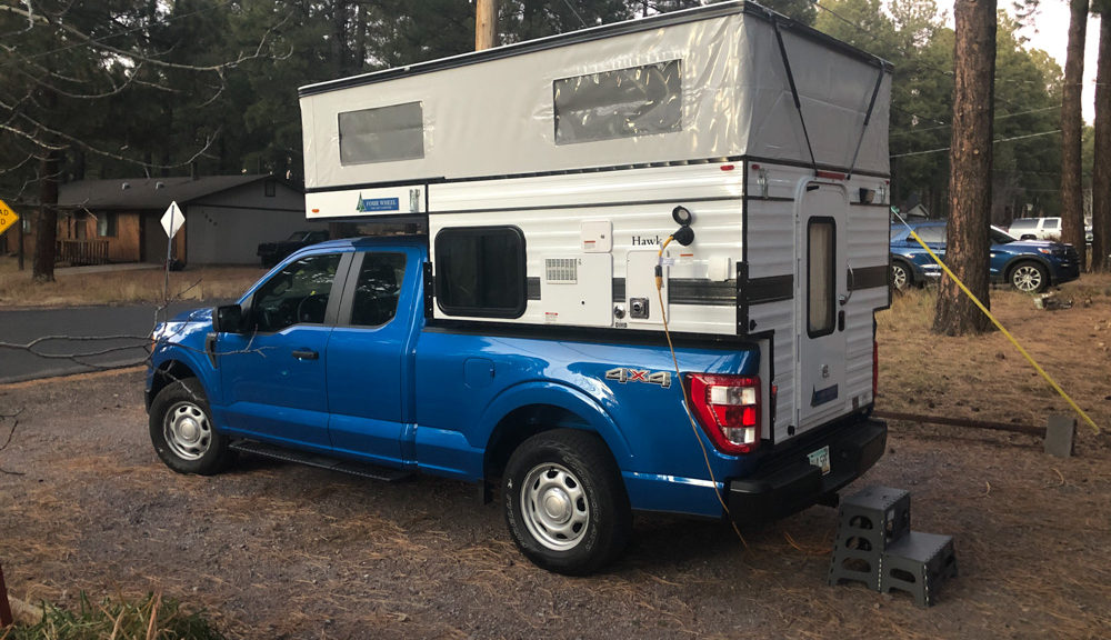
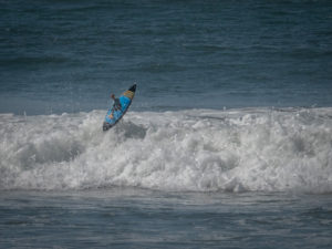
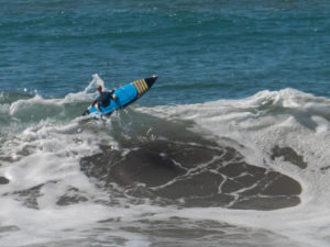
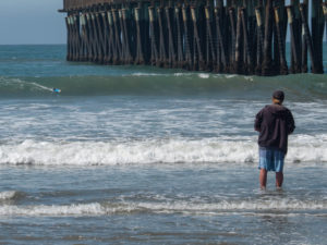
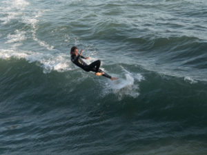
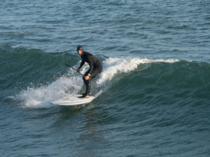
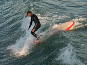
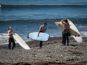
 Now, on to the dedication part. The temps were in the high 40’s each morning. These guys were decked in full, hooded wetsuits WITH booties. No thank you. Too cold for this lover of oceans.
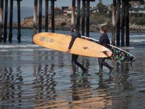 Even in Cayucos, near the pier, in the afternoon temps of mid-60’s, full wetsuits, booties and hoods were the norm.
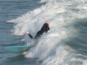
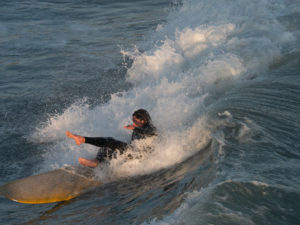
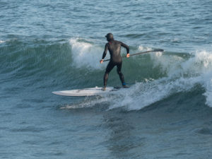
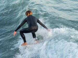
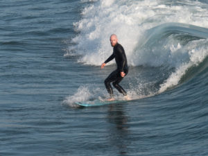
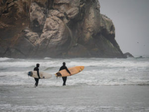
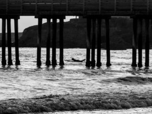
 There were a couple of young guys out on their short boards working the waves.
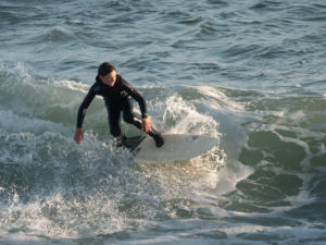
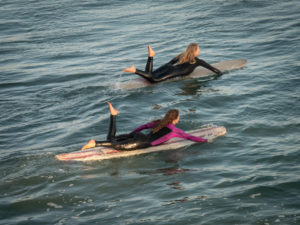 These two joined the mix late in the afternoon. They seriously looked like synchronized swimmers heading out on their boards with pointed toes at the ends of legs that were moving up and down in a rhythmic kicking motion timed to their arm strokes. The boys became less focussed once these two showed up. 😉
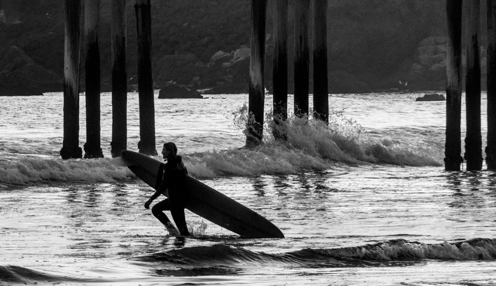
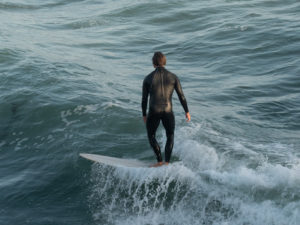
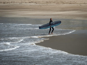 At the end of a session, walking out of the surf on a lonely beach shows the potential solitude of surfing.
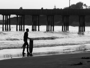
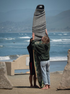 This was new to me. Covering a board before loading it up after a morning in the water.
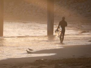 Back in Cayucos, the sun setting and a lone surfer calling it a day.
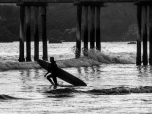
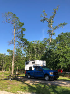
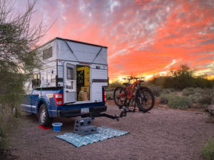
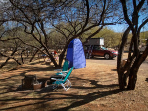
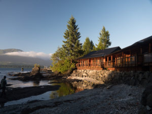
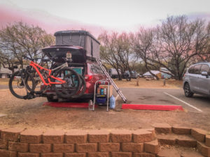 Another view of our camp.
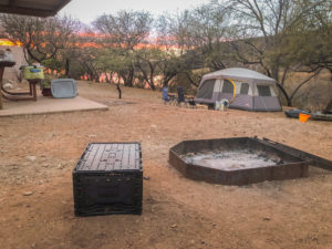
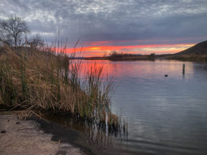 This body of water is only two and a half miles long and 250 surface acres. A bit of a pond compared to what we’re used to at Lake Powell where we spend our summers canoe camping and paddleboarding.
 The next morning was cold, like 24 degrees farenheight cold. Since we don’t have a heater in the tent, we got up, made coffee and tea, and went exploring.
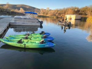
 We found the other boat ramp (again, quite small compared to Lake Powell).
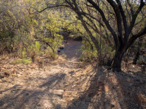
 Here’s a funny story. We were in the RoofNest last night and Ellen realized she hadn’t taken out her disposable contacts. She decided to just drop them out of the tent and she’d pick them up off the pavement in the morning. Having forgotten all about them we returned after our morning coffee/tea exploration to change out of our winter layers and low and behold! What’s this on the side of the car?? CONTACTS!!
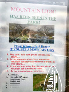
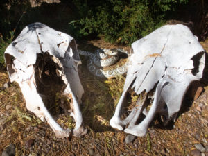 Our next order of business was to get on our bikes and explore the park. Turns out it’s really not a mountain biking park. Lots of trails but not for bikes. Our goal was to ride up to the ranger station to get our tag and explore the RV section for possible future sites. As we left the ranger station I turned to look at the skulls and jumped as the snake caught my attention. I didn’t have time to reason that snakes aren’t out in these cold temperatures.
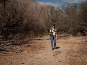
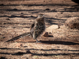 On our way to the trailhead we happened across this roadrunner lurking about the RV’s. We stopped to watch him (or her) and apparently we ruffled its feathers! I’d never seen such a thing in a roadrunner. Fellow birders said it’s common and that roadrunners like to hang out with people and demand food. Who knew?
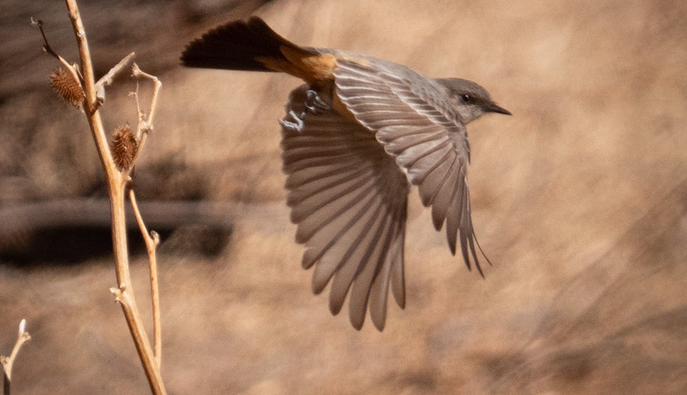
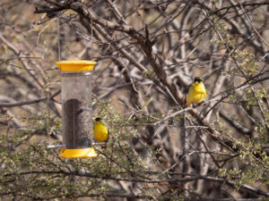
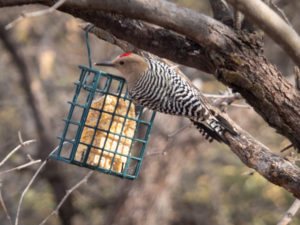
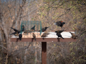
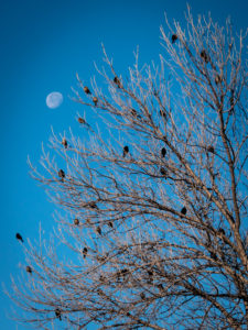
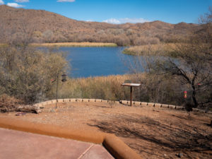 The entrance to the birding trail has a lovely spot with bird feeders that attract all kinds of feathered friends. It was nice to just sit and watch through binoculars and a longish lens (28-300) and try to capture their antics.
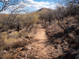
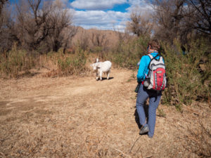 Our trail was blocked by these two calves. Mama was close by so we gently approached the siblings and continued on our way.
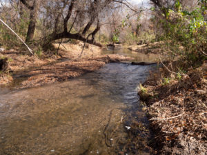
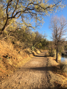
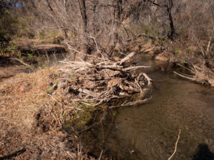 In this image, you can see flood debris probably deposited during the monsoon season.
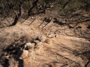
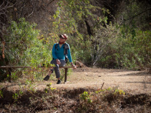 There were random benches along the trail.
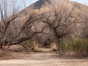
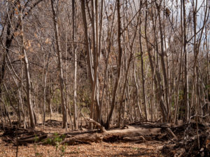 The pathway cut through forests of cottonwood and mesquite. However, in one section was a stand of these trees.
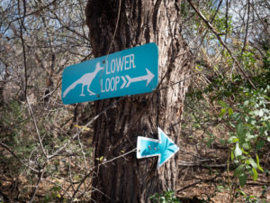 Here’s the funny thing about these signs. There is a Lower Loop and an Upper Loop. They are the same loop. One goes to the right, the other to the left. And there is no elevation change to delineate it as upper or lower. Weird.
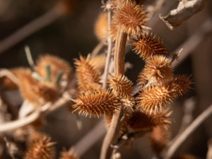 Cockleburs. These were found on the local cows. Poor things. These guys are no fun for dogs to pick up either.
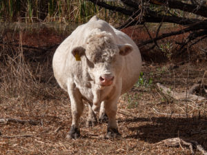 On our way back we ran into this guy. Holy COW!! or STEER!! or BULL!! He was so big I had to photograph him straight on to show his girth! I thought she was pregnant then realized she was a he.
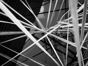
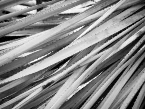 What would a Vicki Shoot be without some patterns?
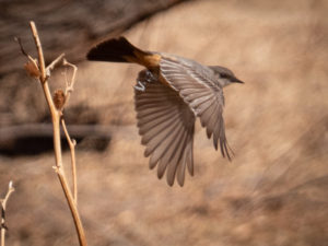
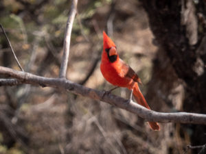 It was on this trip that we decided to become birders. We downloaded the Audubon App and began attempting to identify birds. We started with the easy ones.
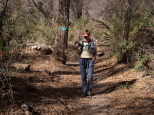
 The Mesquite tunnel.
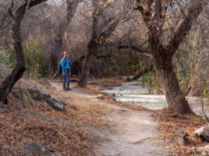 Some of the mucky water early in the trail.
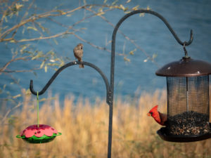
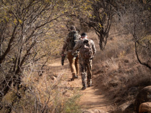 Random bow hunters passing us and heading out onto the trail. They said they were hunting deer and javelina.
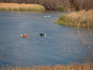 We also vowed to bring our inflatable paddleboards with us next time.
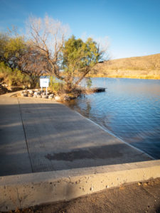
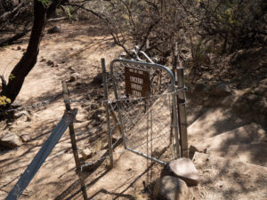
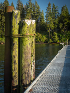
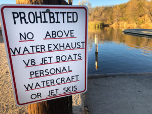 This sign is at the boat ramp.
 This is the path running alongside the marina.
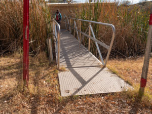
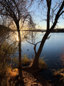
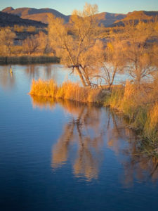
 The reeds are pretty.
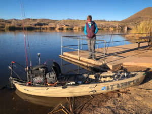 We ran into our #103 neighbor in his rigged out fishing kayak. It seems he grew up coming here from Tucson and is now bringing his wife and own children to his beloved park.
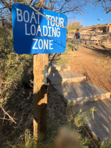 Boat tours? Cool.
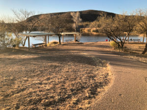
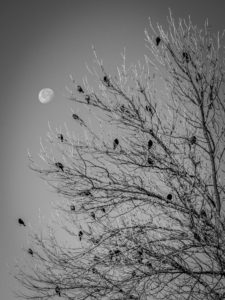 Same picture, color vs black and white. Do you have a preference?
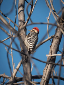 This is why I need a longer lens! Great bird, blurry shot!!
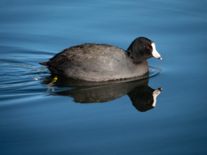 This fellow greeted us down at teh swimming beach. They seemed pretty tame and especting food.
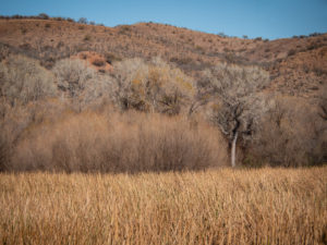
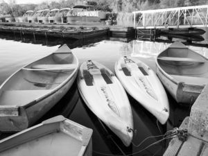
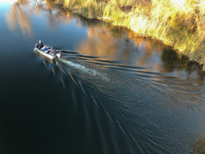
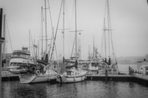
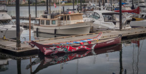 I could shoot boats all day long.
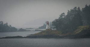
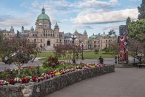 The Parliament Building was amazing.
 Yes, we stayed n these cabins. Check out the low tide.
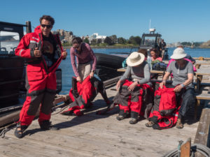 We each had to wear these survival suits. They were really hot but would save our lives should we end up in the ocean.
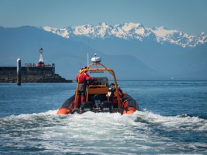
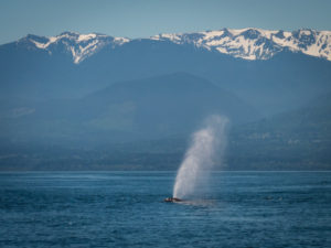
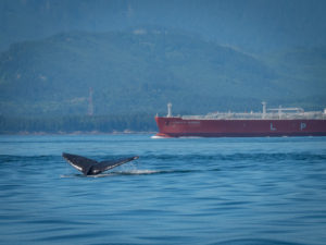 Ocean-going tankers and whale collisions is a real problem.
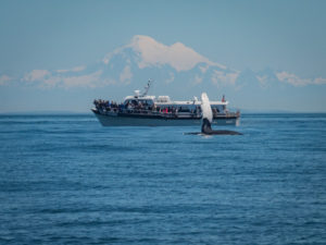 Another tour boat.
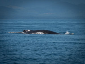
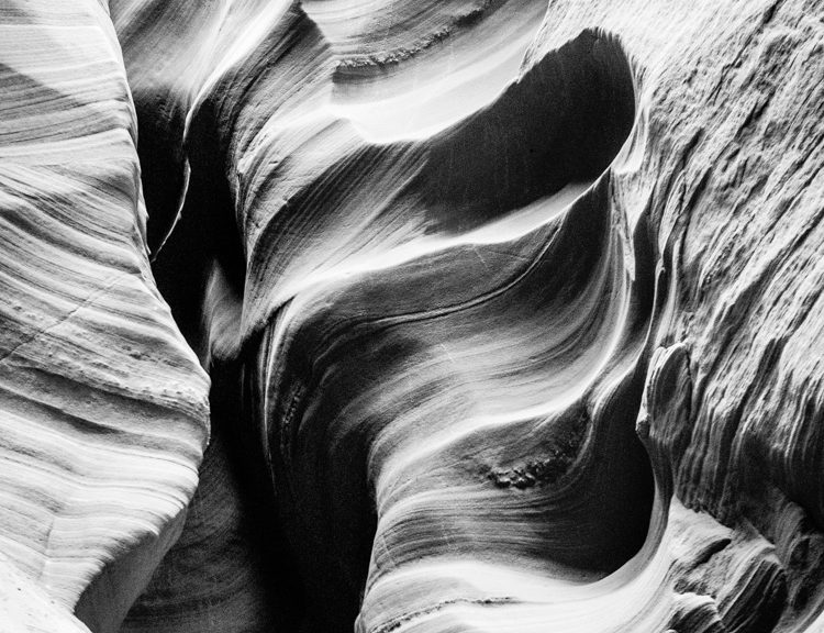
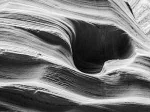
 Many times I wish I had paid more attention in my university geology class. This is an area we call The Fins due to the thin delicate “fins” that protrude due to erosion. It’s beautiful at sunset.
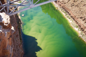 Heading to Lee’s Ferry we cross Navajo Bridge. From here one can see the silt that the Colorado River moves downriver. It is said that Glenn Canyon Dam will fail at some point due to the amount of silt built up in the lake from the Colorado and its tributaries.
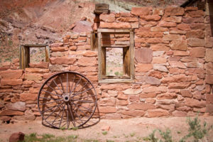 Lee’s Ferry has some cool old buildings made from the surrounding sandstone leftover from when it was a vibrant community.
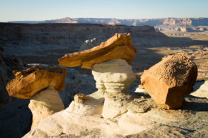
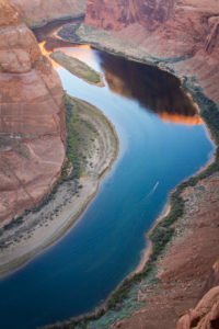 Iconic Horseshoe Bend. It has become quite the popular location. Plan on paying for parking!
 We’ve passed into Utah, through Big Water, and out on Highway 12, a dirt road that leads to the north end of the lake. It was a dry year.
 We hit a couple of Lake Powell overlooks.
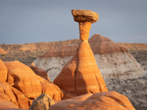
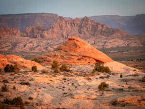 “Little Cut” is an area of “tee pees” lit up beautifully by the morning sun.
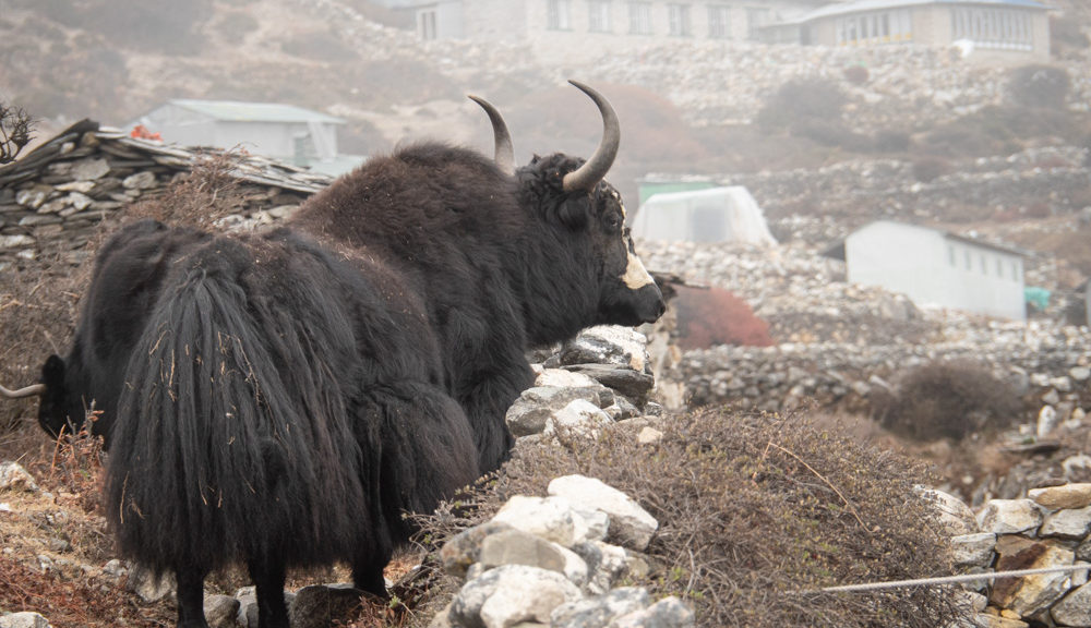
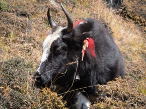
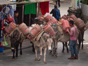
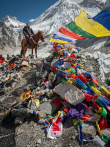
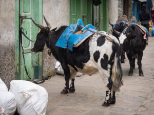 However, I need to make something clear: there are two types of yaks. The pure breed and the crossbreed. The zhokpa is yak crossed with cattle as seen here. The difference is clear once you’ve seen both but what drew me to them wasn’t their genetics but the bells they wore. They wore larger, deeper sounding bells than the sleigh bells of the horses and the music they created made my heart sing.
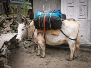
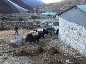
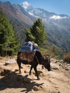
 These are yaks.
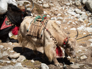
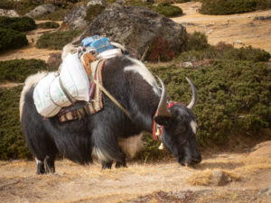
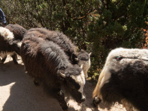
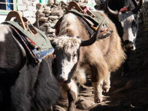
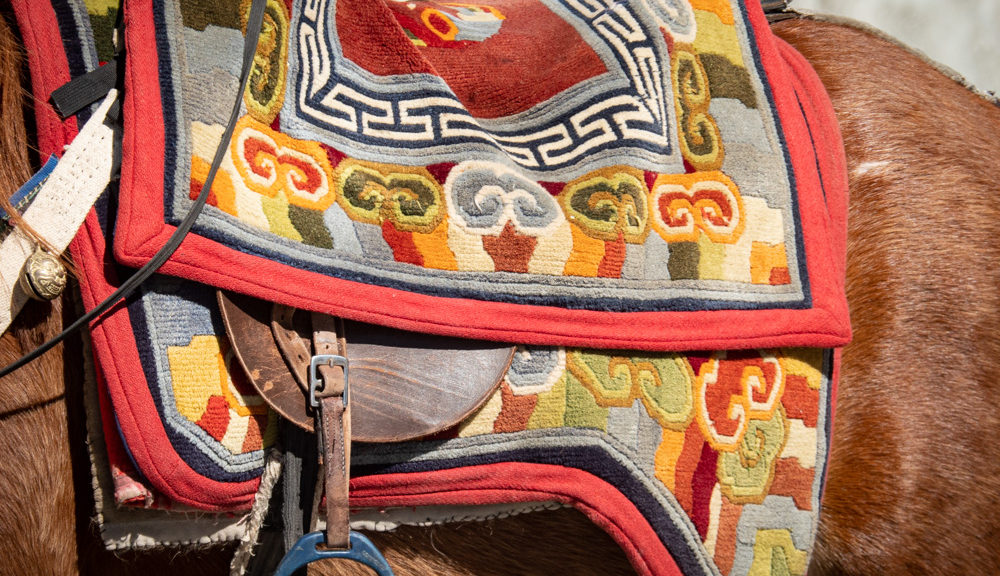
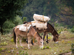
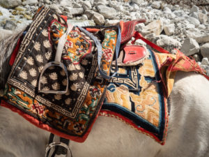
 Like the horses, many of the yaks and zhokpas were decorated.
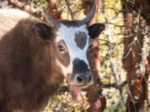
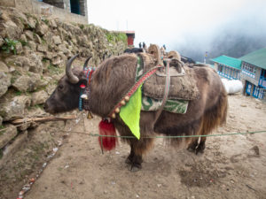
 Can you tell? Zhokpa or Yak?
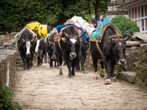
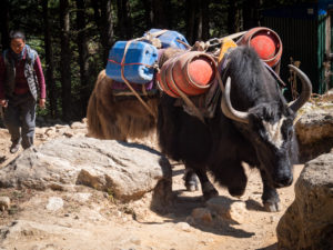 I love this image because it looks like we’re being charged by a crazy yak! We’re not. These animals are very sure-footed.
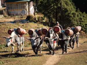
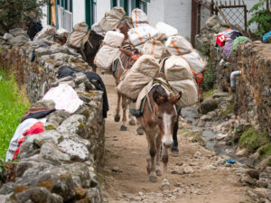
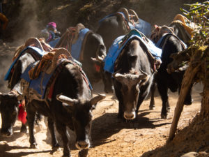 A herd of zhokpa coming our way, can you hear the bells?
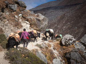
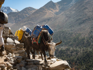 Our guide drilled into our heads to always take the inside track when passing or being passed by anything, human or animal. This trail section has a Grand Canyon feel.
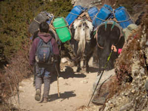 Some of the yak herders were quite young.
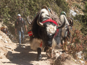
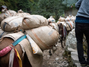
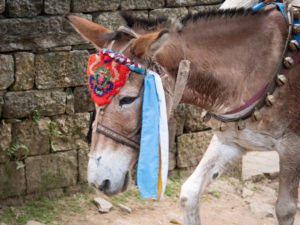
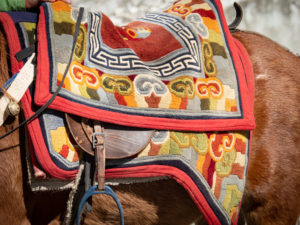
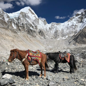
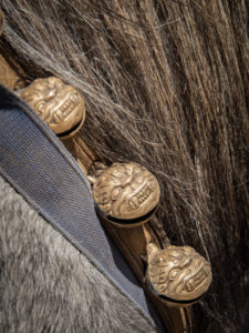 Sleigh bells were unique to the horse caravans as opposed to larger, deeper sounding cowbells or yak bells on the yaks and zhokpas. Horse trains moved quicker and we could tell before we saw them what type of animal group was headed our way.
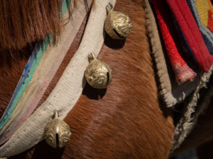
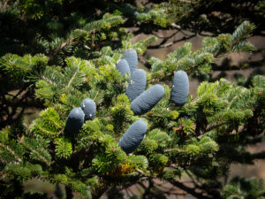 On day three, up from Namche Bazaar, there were pine trees with large bluish cones. Pretty cool.
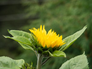
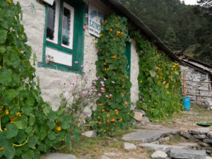
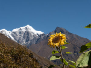 Ok wait…a SUNFLOWER?? I thought this was spectacular against the mountains.