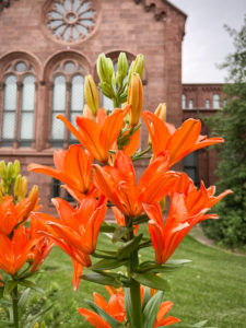
For me, Washington D.C. is all about the buildings. In my world of keywording, buildings also include monuments, bridges, and memorials. Steeped in history, full of stories, iconic, architecture, and design all catch my eye. I couldn’t get enough. Here they are, in no particular order.
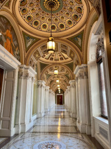
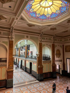
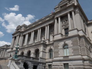 The Library of Congress was NOT what I pictured it to be. From what we saw it was much more a museum than a library. Apparently, it is the official research library that serves the United States Congress and is the de facto national library of the United States. It is the oldest federal cultural institution in the country and is one of the largest libraries in the world. Its collections are universal, not limited by subject, format, or national boundary, and include research materials from all parts of the world and in more than 470 languages. Who knew?
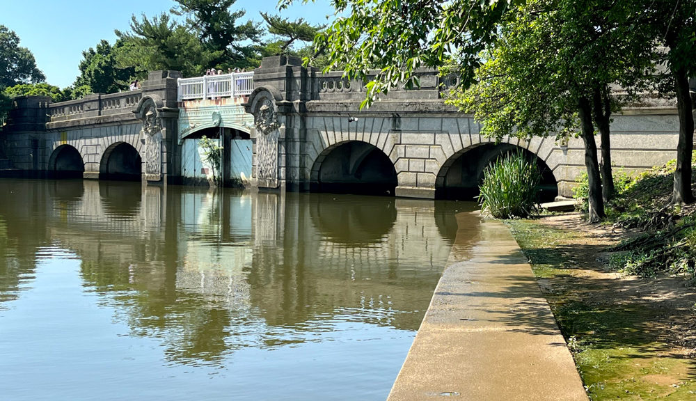
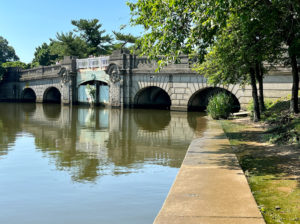
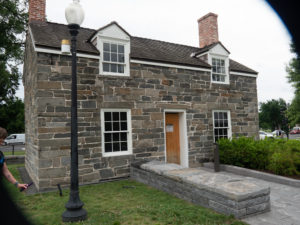 We stumbled across this building on our way to a March for our Lives rally. Excluding the White House, the Lockkeeper’s House is the oldest building on the National Mall, built in 1837.
The building dates to a period when this area was a wharf and was the location of a section of the Washington City Canal, which connected the Potomac and Anacostia rivers. Here, an eastward extension of the Chesapeake and Ohio Canal met the Potomac River and the Washington City Canal at a canal lock.
The 350-square-foot house served the canal lock keeper, who collected tolls, recorded commerce, maintained the canal, and managed traffic.
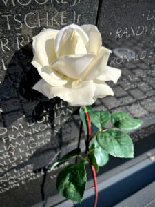
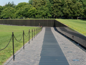 The Vietnam Memorial was powerful. The names on the Wall, originally numbering 57,939 when it was dedicated in 1982, are listed in the chronological order of the casualty dates. It’s interesting how short the wall is from the early days of the war and startling how tall it gets in the middle. Additional names have since been added and as of May 2018, there were 58,320 names. The number of names on the wall is different from the official number of U.S. Vietnam War deaths, which is 58,220 as of May 2018.
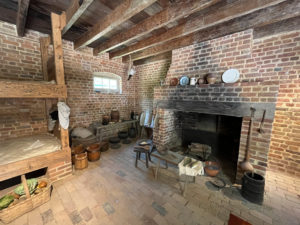
Mount Vernon was a beautiful way to spend an afternoon. The main building was under renovation so we wandered the grounds. It became less beautiful as we entered the slave quarters and realized how many people were owned to make these grounds a working farm back in the day. The above image is a room of the restored slave quarters.
The plantation is on the banks of the Potomac River in Fairfax County, Virginia, just south of Washington, D.C.
The Washington family acquired land in the area in 1674. Around 1734, the family embarked on an expansion of its estate that continued under George Washington, who began leasing the estate in 1754 before becoming its sole owner in 1761.
In 1858, the house’s historical importance was recognized and it was saved from ruin by the Mount Vernon Ladies Association; this philanthropic organization acquired it together with part of the Washington property estate. Escaping the damage suffered by many plantation houses during the American Civil War, Mount Vernon was restored.
Mount Vernon was designated a National Historic Landmark in 1960 and is listed on the National Register of Historic Places. It is still owned and maintained in trust by the Mount Vernon Ladies Association and is open every day of the year. Allowing the public to see the estate is not an innovation, but part of an over 200-year-old tradition started by George Washington himself. In 1794 he wrote: “I have no objection to any sober or orderly person’s gratifying their curiosity in viewing the buildings, Gardens, &ca. about Mount Vernon.”
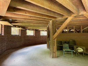
This is an image of the lower floor of a round barn found on the property. It was invented to have hay laid out on the above floor, have horses walk on it, and ground it up to have it fall through to the bottom floor and be swept up and used. It was cutting-edge technology back then.
 The Capital is located on Capitol Hill at the eastern end of the National Mall. Though no longer at the geographic center of the federal district, the Capitol forms the origin point for the district’s street-numbering system and the district’s four quadrants.
Central sections of the present building were completed in 1800. These were partly destroyed in the 1814 burning of Washington, then were fully restored within five years. The building was later enlarged by extending the wings for the chambers for the bicameral legislature, the House of Representatives in the south wing, and the Senate in the north wing. The massive dome was completed around 1866 just after the American Civil War.
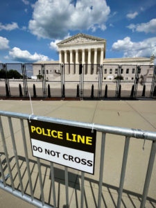 The Supreme Court Building also referred to as “The Marble Palace,” serves as the official workplace of the Chief Justice of the United States and the eight Associate Justices of the Supreme Court. It is located in the block immediately east of the United States Capitol and north of the Library of Congress. On May 4, 1987, the Supreme Court Building was designated a National Historic Landmark.
The proposal for a separate building for the Supreme Court was suggested in 1912 by President William Howard Taft, who became Chief Justice in 1921. In 1929, Taft successfully argued for the creation of the new building but did not live to see it built. Physical construction began in 1932 and was officially completed in 1935 under the guidance of Chief Justice Charles Evans Hughes, Taft’s successor.
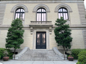
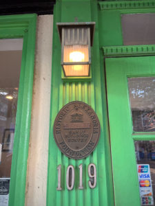
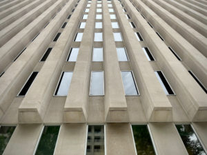 I don’t remember what this building is but we got out of the car, I looked up and saw this…so I SHOT it.
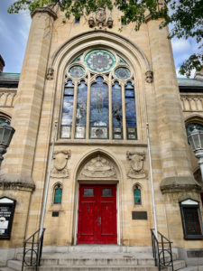
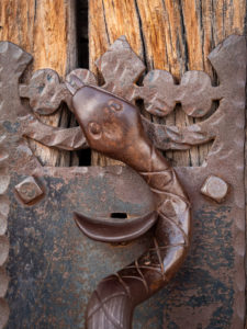
Beautiful architecture was everywhere, be it churches, office buildings, or homes, it was everywhere.
 Walking from one place to another, outside of the National Mall, we would come across random buildings like the Embassy of Kazakstan.
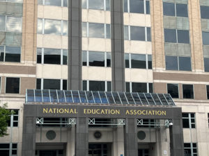 The National Education Association.
 The National Geographic Society.
 An iPhone picture of the White House. Some days you could get right up to the gate and some days not. Today was a good day.
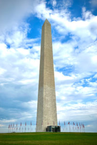 The Washington Monument’s construction began in 1848 and was halted for a period of 23 years, from 1854 to 1877 due to a lack of funds, a struggle for control over the Washington National Monument Society, and the American Civil War. It was built to commemorate George Washington, once commander-in-chief of the Continental Army (1775–1784) in the American Revolutionary War and the first President of the United States (1789–1797). Located almost due east of the Reflecting Pool and the Lincoln Memorial, the monument, made of marble, granite, and bluestone gneiss, is both the world’s tallest predominantly stone structure and the world’s tallest obelisk at 555 feet 5+1⁄8 inches (169.294 m) tall, according to the National Park Service (measured 1884). It is the tallest monumental column in the world if all are measured above their pedestrian entrances. The cornerstone was laid on July 4, 1848; the first stone was laid atop the unfinished stump on August 7, 1880; the capstone was set on December 6, 1884; the completed monument was dedicated on February 21, 1885; and officially opened October 9, 1888.
We never did secure tickets to go up in it. Next time.
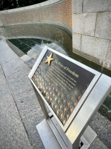 The World War II Memorial was stunning. But this plaque was possibly the most important part of the memorial. It is the Freedom Wall. It explains the price of freedom in very real terms. The wall holds 4,048 gold stars you can see behind the sign to the left. Each star represents one hundred American service personnel who died or remain missing in the war. The 405,399 Americans dead and missing from World War II are second only to the loss of more than 620,000 Americans during our Civil War. And THAT only includes our country. And only service members. Let that sink in for a minute.
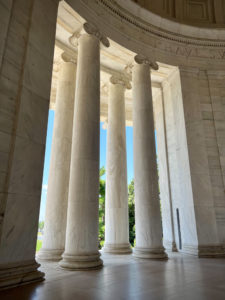
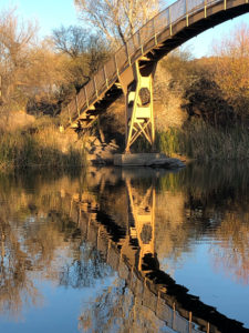
This is a super cute little bridge along the waterway of the Jefferson Memorial whose pillars you can see below.
I found this quote on the Southeast wall to be very pertinent to today’s politics: “I am not an advocate for frequent changes in laws and constitutions, but laws and institutions must go hand in hand with the progress of the human mind. As that becomes more developed, more enlightened, as new discoveries are made, new truths discovered and manners and opinions change, with the change of circumstances, institutions must advance also to keep pace with the times. We might as well require a man to wear still the coat which fitted him when a boy as civilized society to remain ever under the regimen of their barbarous ancestors.” I have more to say but I’ll stop there. 😉
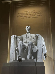
The Lincoln Memorial was dedicated in May 1922. It has always been a major tourist attraction and since the 1930s has sometimes been a symbolic center focused on race relations.
The memorial has been the site of many famous speeches, including Martin Luther King Jr.’s “I Have a Dream” speech delivered on August 28, 1963, during the rally at the end of the March on Washington for Jobs and Freedom.
The memorial is open to the public 24 hours a day, and more than 7 million people visit it annually.
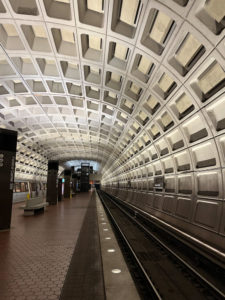 Even the Metro station is kinda cool inside.
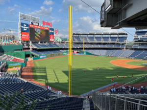 We went to a Washington Nationals Major League Baseball game with our friends. I even ate a hot dog.
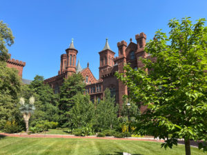 The Smithsonian Institution is legendary. I learned this at an exhibit: “The Smithsonian Institution started with a gift from an 18th-century English scientist named James Smithson who left his fortune to the United States, a country he had never seen. This exhibition looks at the history of the Smithsonian, focusing on its research, museums, and public programs in art, culture, history, and science and the role of the American public in the Smithsonian museums and research.
The Smithsonian is a partnership between its specialist staff and the American people. ”
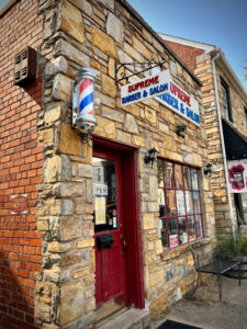
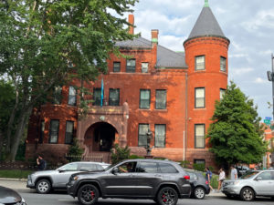
Walking around old Alexandria we ran into some old buildings.
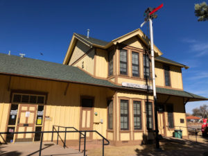
 I’m not sure what this building is but we emerged from the underground Metro to this. Stunning.
 This is the National Portrait Gallery which is full of, you guessed it, portraits! Among other art pieces.
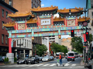 We didn’t go into Chinatown but found one of the entrances to it near the portrait gallery. Again, next time.
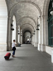 Here’s Ellen at Union Station, on our way to find the Amtrak train that will take us to New York City.
I hope you enjoyed the small sampling of the buildings we encountered on the D.C. portion of our June adventure.
Until next week, Happy Shooting!!
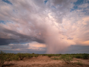
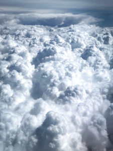 Let us begin with our airplane journey across the U.S. It was clear skies until we flew into Dallas, Texas where we encountered severe thunderstorms. In fact, we found out we were one of the last planes to fly out of DFW that afternoon due to the storms. Whew! Once we got above the clouds though, it was beautiful.
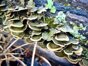
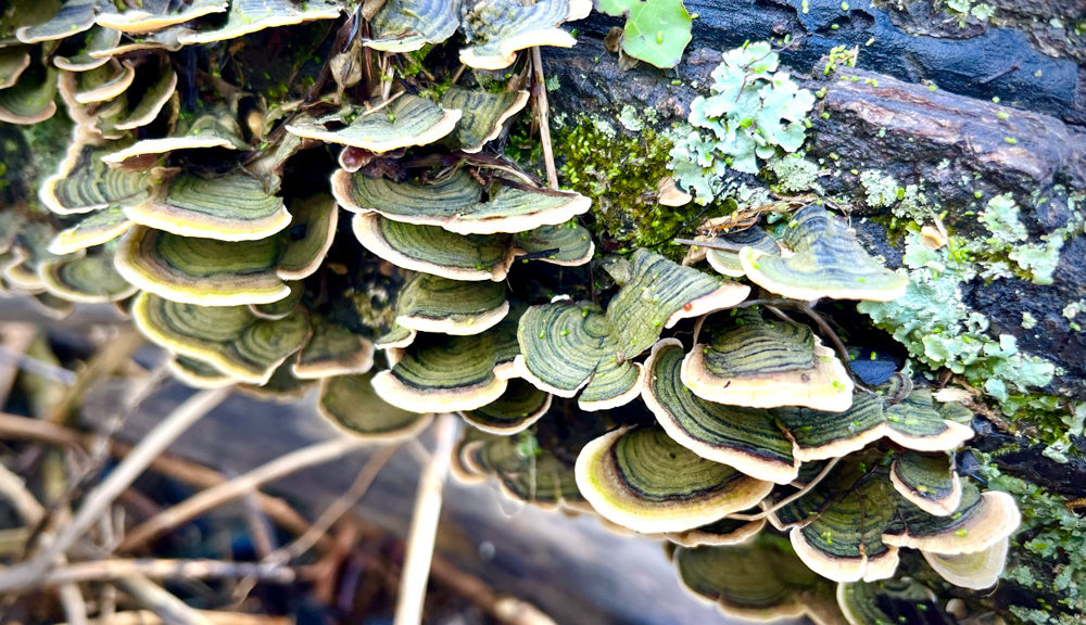
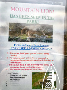
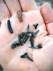 It was amazing how many we found. It makes one wonder how many are out there because this is a popular activity in the area and most folks find plenty.
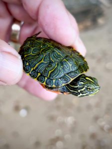 While looking for shark teeth down the beach I found this little guy. Definitely a highlight.
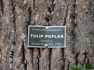 Following the morning at the river and a parking lot, and a tailgate picnic our friends dropped us off at Mt. Vernon, home of George Washington. There will be plenty of pictures later in the Buildings blog but I just wanted to point out how cool it was to touch a tree planted by our first president.
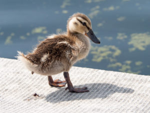

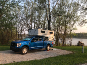
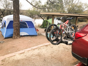
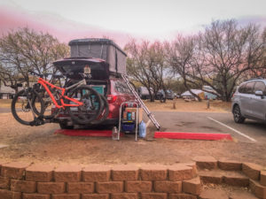
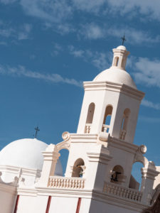
 Our first three nights were spent in Portal, AZ. It’s a little community located in southeastern Arizona not far from the Mexican border. Our good friends have a lovely piece of land there just east of Chiricahua National Monument. It was a great place to land on our first big driving day in Coyote Hawk. Heading out from Flagstaff was mostly downhill so we got crazy good gas mileage; 22 mpg to be exact.
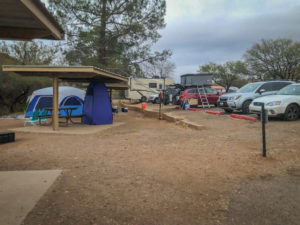
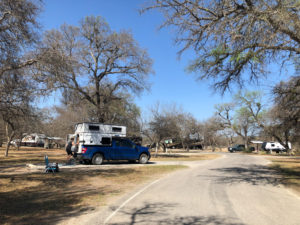 We LOVED this park. We wished we had brought our bicycles, as there was some riding to be had. This is also where we got to interact with armadillos for the first time. That will be in a later post.
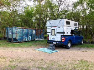
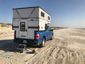 It turns out that in Texas one can just drive on any beach and camp. Pretty cool. As you can see we were quite a distance from any other camp. But as you can also see, the winds had picked up the afternoon before, blew hard all night, and blew sand all over our mat. It blew so hard that we moved our truck, in the middle of the night, to face the wind and try to reduce some of the rocking from the gusts. Needless to say, with fine sand blowing everywhere and no relief in sight, we called it after one night and headed to Harlingen.
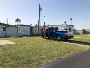
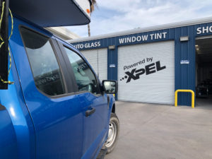 One of the upgrades we decided our rig needed was to tint the truck’s windows. Wow, what a difference it made with the sun and heat.
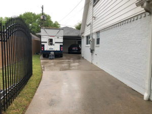 From Harlingen, we headed to Houston to stay with cousin Dave and his husband Bong. We easily could have camped in the driveway but were invited into an upstairs room and private bath. It was here that I think we began to realize that staying in the camper is easier and just as, if not more, comfortable for us.
 The next stop was Henry Horton State Park just south of Nashville, TN. This was another park we loved and wished we had bikes to explore with. We didn’t bring the bikes as we didn’t want them hanging off the back, ripe for theft, as we visited the cities on our trip. Stay tuned and you’ll see what we came up with.
 THIS two-night, one-day experience was all about Dollywood! We stayed at The Ridge Resort in Sevierville, Dolly Pardon’s hometown. The RV park had a LOT of concrete, very manicured lawns, twice-daily trash pick-up (I’m serious), and giant bus-sized RVs surrounding us. We felt like we used to after canoe camping at Lake Powell and paddling over to the restaurant for a meal and mixing with all the clean houseboaters. We were a bit out of our league.
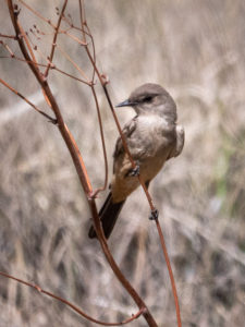
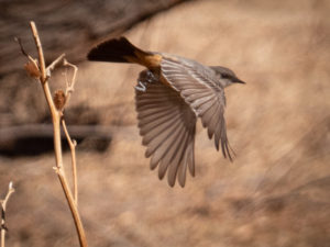
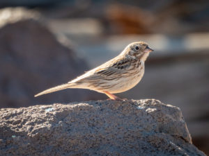 I wasn’t sure what this little guy was so I posted it on FaceBook and asked the birding community to identify. They were quick! It’s a vesper sparrow.
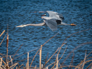 Catching them in flight is challenging. I set the camera at 400-800 ISO, in full sunlight which gives me a shutter speed between 2,000 and 6,000.
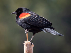 Perched birds are easier but you still have to be quick. They don’t always hang out for a photo! This is a red-winged blackbird.
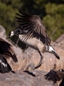 Coming in for a landing!!
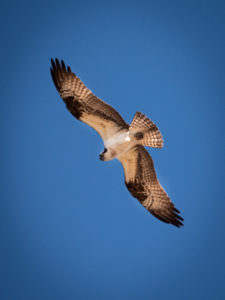 I’ve seen as many as four ospreys hunting the ponds of these wetlands.
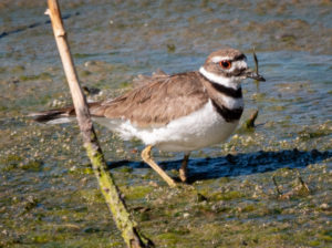 This looks like a shorebird to me. It’s a killdeer. On another day I caught one with a worm in its mouth!
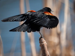 They are so dramatic when they sing!
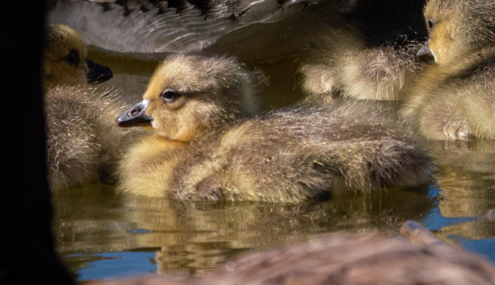
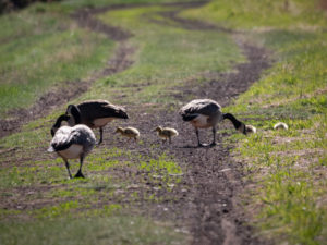 The first goslings of the season!
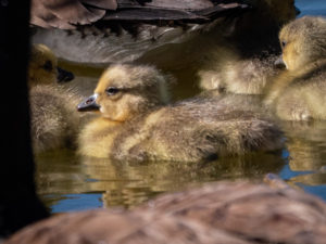
 This one was tough to capture. It didn’t hang out for long so I had to be quick. Luckily, with the length of the lens, I don’t have to get too close and the birds tend to not skitter away quite as quickly as when I tried to capture images of them with my 28-300 mm lens.
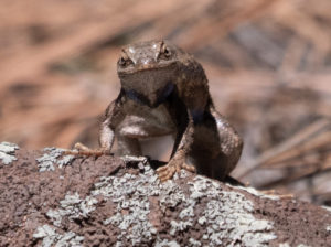 Turns out it’s also a reptile lens!
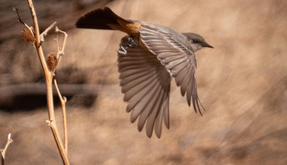
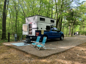
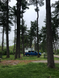
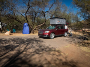
 Another view of our camp.
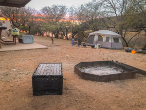
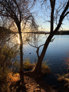
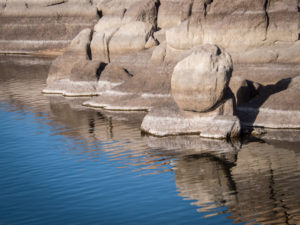
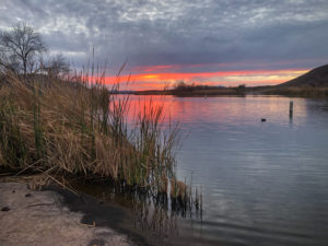 This body of water is only two and a half miles long and 250 surface acres. A bit of a pond compared to what we’re used to at Lake Powell where we spend our summers canoe camping and paddleboarding.
 The next morning was cold, like 24 degrees farenheight cold. Since we don’t have a heater in the tent, we got up, made coffee and tea, and went exploring.
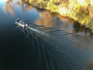
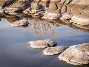
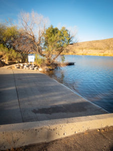 We found the other boat ramp (again, quite small compared to Lake Powell).
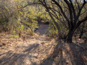
 Here’s a funny story. We were in the RoofNest last night and Ellen realized she hadn’t taken out her disposable contacts. She decided to just drop them out of the tent and she’d pick them up off the pavement in the morning. Having forgotten all about them we returned after our morning coffee/tea exploration to change out of our winter layers and low and behold! What’s this on the side of the car?? CONTACTS!!
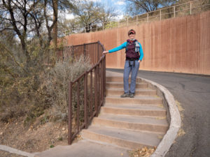
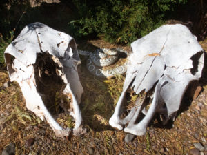 Our next order of business was to get on our bikes and explore the park. Turns out it’s really not a mountain biking park. Lots of trails but not for bikes. Our goal was to ride up to the ranger station to get our tag and explore the RV section for possible future sites. As we left the ranger station I turned to look at the skulls and jumped as the snake caught my attention. I didn’t have time to reason that snakes aren’t out in these cold temperatures.
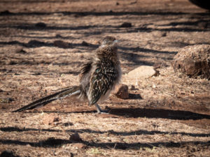 On our way to the trailhead we happened across this roadrunner lurking about the RV’s. We stopped to watch him (or her) and apparently we ruffled its feathers! I’d never seen such a thing in a roadrunner. Fellow birders said it’s common and that roadrunners like to hang out with people and demand food. Who knew?
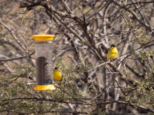
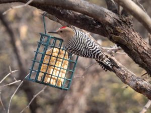
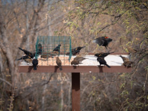
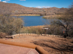 The entrance to the birding trail has a lovely spot with bird feeders that attract all kinds of feathered friends. It was nice to just sit and watch through binoculars and a longish lens (28-300) and try to capture their antics.
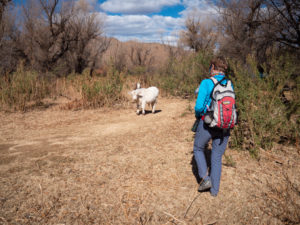 Our trail was blocked by these two calves. Mama was close by so we gently approached the siblings and continued on our way.
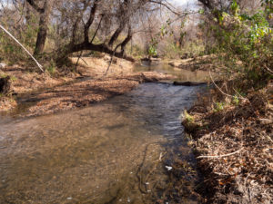
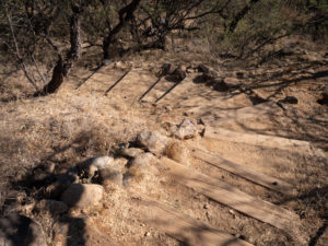
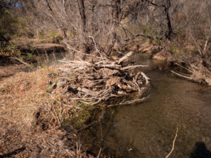 In this image, you can see flood debris probably deposited during the monsoon season.
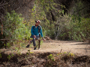 There were random benches along the trail.
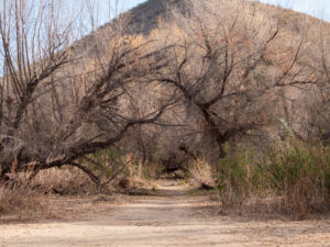
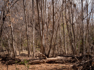 The pathway cut through forests of cottonwood and mesquite. However, in one section was a stand of these trees.
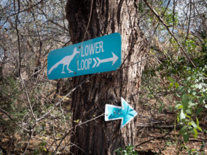 Here’s the funny thing about these signs. There is a Lower Loop and an Upper Loop. They are the same loop. One goes to the right, the other to the left. And there is no elevation change to delineate it as upper or lower. Weird.
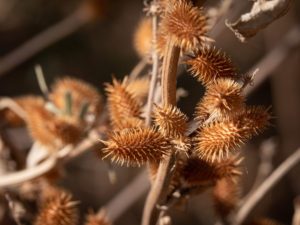 Cockleburs. These were found on the local cows. Poor things. These guys are no fun for dogs to pick up either.
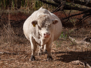 On our way back we ran into this guy. Holy COW!! or STEER!! or BULL!! He was so big I had to photograph him straight on to show his girth! I thought she was pregnant then realized she was a he.
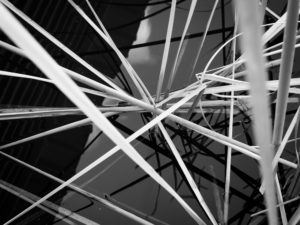
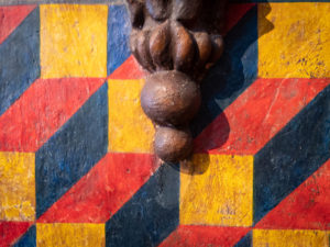
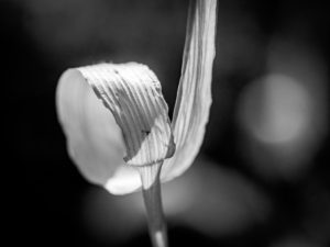
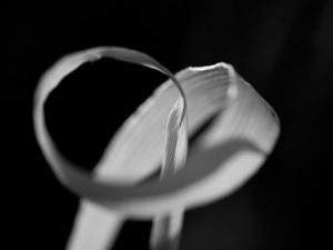
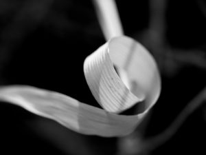
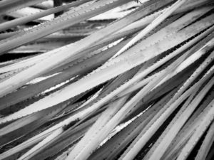 What would a Vicki Shoot be without some patterns?
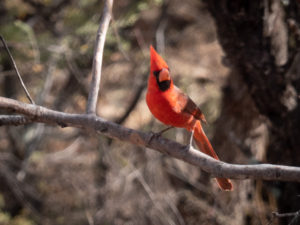 It was on this trip that we decided to become birders. We downloaded the Audubon App and began attempting to identify birds. We started with the easy ones.
 The Mesquite tunnel.
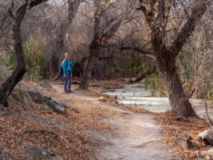 Some of the mucky water early in the trail.
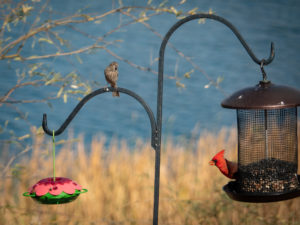
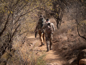 Random bow hunters passing us and heading out onto the trail. They said they were hunting deer and javelina.
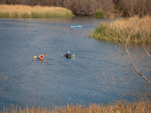 We also vowed to bring our inflatable paddleboards with us next time.
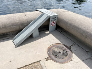
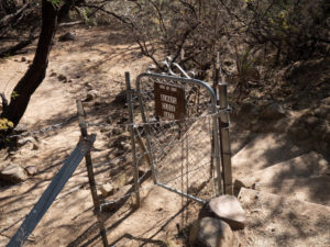
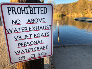 This sign is at the boat ramp.
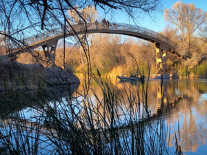
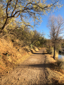 This is the path running alongside the marina.
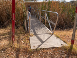
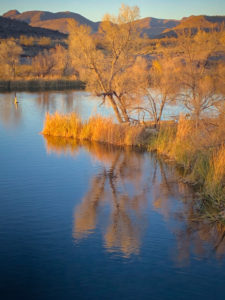
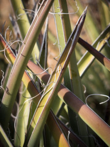
 The reeds are pretty.
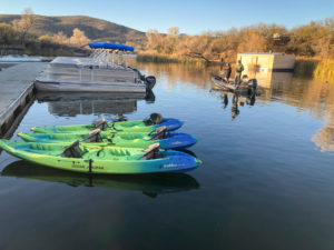
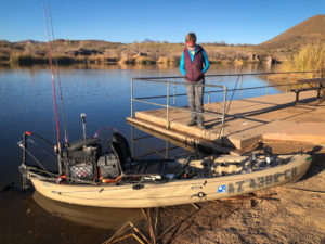 We ran into our #103 neighbor in his rigged out fishing kayak. It seems he grew up coming here from Tucson and is now bringing his wife and own children to his beloved park.
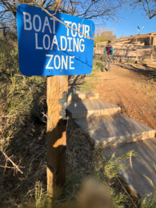 Boat tours? Cool.
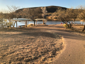
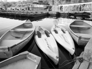
 Same picture, color vs black and white. Do you have a preference?
 This is why I need a longer lens! Great bird, blurry shot!!
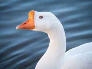
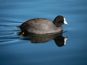 This fellow greeted us down at teh swimming beach. They seemed pretty tame and especting food.
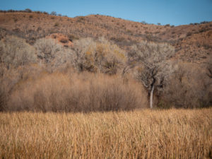


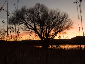 Winter hours have the park closing at 6:00 pm which is plenty of time to catch the sunset without having to stay out too late.
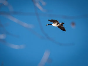


 Seriously, this makes me want to color eggs this year just to have a photo session.


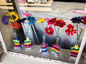
 Beautiful, colorful decorations could be found all over grounds of Tlaquepaque. Every nook and cranny was SOMETHING to look at. This skull was just sitting in a bush.
 I found these three characters sitting on a wall fountain.


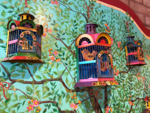
 These ladies, about 18 inches high, were strategically placed around several of the fountains throughout Tlaquepaque. They were fantastic. I could have spent the day just shooting them and their details


 Visitors were encouraged to dress up and many completed their costume with the provided face painters.
 This couple brought their own masks.

 The yellow cross on the ground is made of rose pedals.
