In May of 2016, I landed the mack daddy of trips…Best of the West. This epic journey, and yes, I use that term a LOT with these workshops, had truly set the bar for me for locations and people I got to meet and spend time with. This adventure was seven days long, began, for me, in Sedona and ended with the bus dropping me off at my home in Flagstaff. We had 14 participants, two photo guides, our photographer/instructor, and a bus driver.
 Unlike the Oregon Sampler, we photo guides did not have to drive. That allowed us more time to get to know our clients. And what an amazing group.
Here’s a sampling of who I met: an eyewitness to 9/11, a guy who served two years in the Egyptian military, a WWII vet from the battle of Okinawa, a guy who survived a broken neck from an avalanche, a father and son team, a lawyer from Peru, a stroke survivor, an anesthesiologist, a urologist, an avid runner with a double knee replacement, another person from Manhatten and a couple of friends from Washington State. Not to mention my amazing co-guide, photographer, and bus driver. I fell in love with them all while spending seven days on a bus and over 650 miles, sharing amazing locations and many meals together. The participants drove over 900 miles as their workshop began in Phoenix.
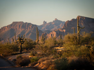
As I said, I joined the party in Sedona where my wife dropped me off at the hotel. The shooting locations were as follows: Sedona, Grand Canyon South Rim, Page, Monument Valley, and Canyon de Chelley. We spent one night in each location, except for Page where we spent two. We photographed sunset at each new location and then sunrise the next morning before heading off to our next destination. As of this trip I had never been to Monument Valley. Go, it’s beautiful. All of the other places are among my favorites on earth.
 It doesn’t matter how many times I go to Sedona, a quick 30-minute drive from my home, I am amazed at its beauty. This was our initial afternoon/sunset shoot.
 The next morning we hit Airport Mesa for sunrise and were treated with some hot air balloons in the distance.
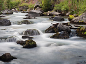
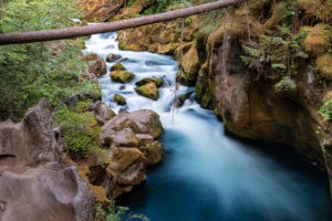
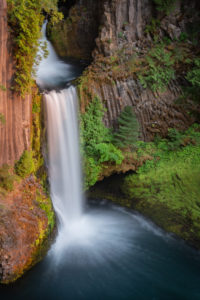
 Before heading to Grand Canyon we dropped into Slide Rock State Park for some water action.
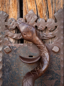
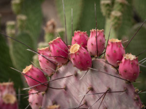
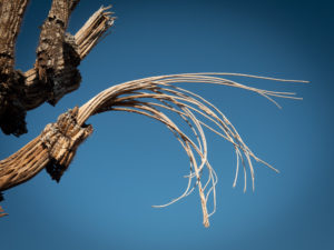
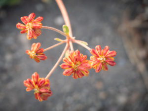
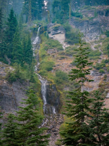
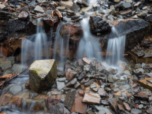
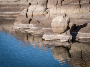
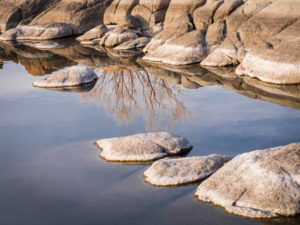
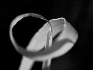
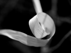
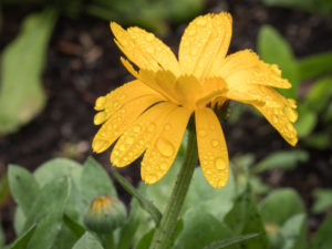
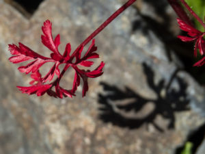
 The grand landscapes easily draw people’s attention but don’t forget to look at the details.

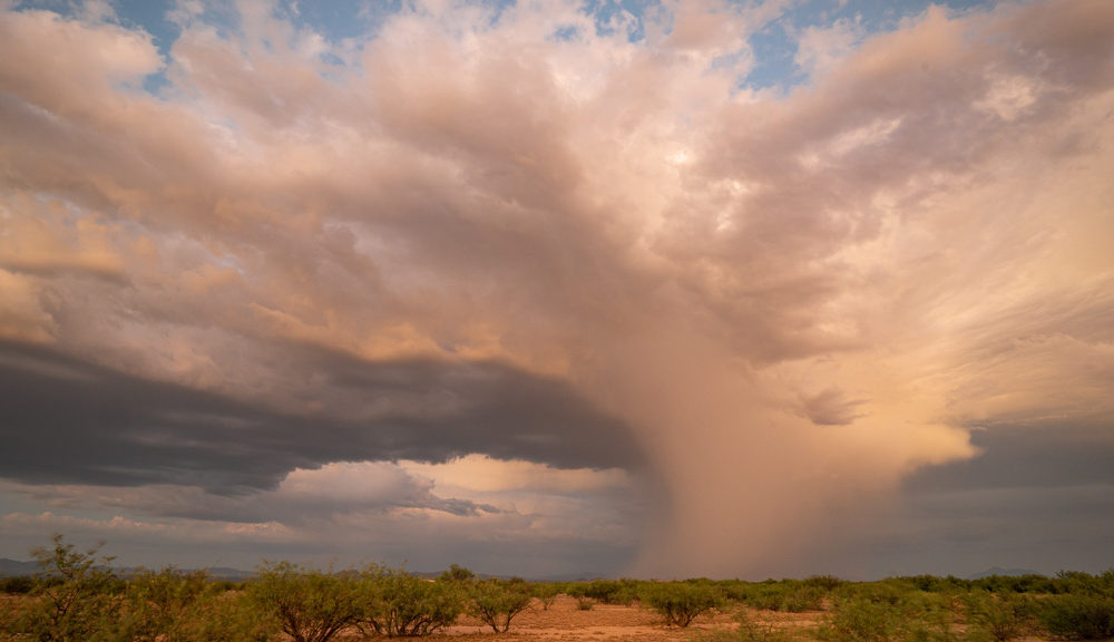
Speaking of grand landscapes, I find this one particularly difficult to shoot. Capturing what I’m truly seeing and feeling at Grand Canyon seems an impossible task.
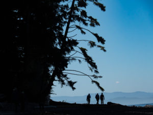
 Putting people in images helps show perspective and scale.
 Thank goodness for Desert View Tower! Nothing like a good man-made object on the edge of a natural wonder to help capture what you’re seeing and feeling.
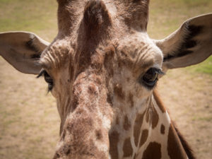
 One can pretty much count on an elk encounter at the South Rim. They don’t ever seem too bothered by us humans.
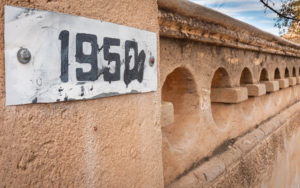
After two nights on the road in two different hotels we headed to Page, a town built so Glenn Canyon Dam workers back in the 1950s and ’60s had a place to call home.

Our first stop was Toadstools. Here’s a cool thing about this trip. As you can see, we are visiting places I have already been to on previous workshops, the women’s retreat in Sedona and now Page. In a couple of days, I’ll get to revisit Canyon de Chelley! It’s nice to return to a location and see it through different eyes (the participants) and hear the instruction from different photographers.


Headlamps were a must on this excursion as I had my first lesson in light painting. It’s a thing where you set up your camera on a tripod, open up the aperture (2.8), and set the shutter speed to 30 seconds. Once it’s open you take a flashlight and do brief flashes onto the subject, in this case, the rock. After you see what you got you either say Yay! or make adjustments and shoot again. It turned out kinda cool.

The next morning was sunrise at Little Cut then off to Antelope Canyon. These are places I don’t seem to get tired of visiting.


It was a big day so we didn’t do a sunset shoot. We had a critique instead. People were given time to download images and edit them. They then gave us three or so images to project onto a screen and talk about. It’s really great to see everyone’s images.

Sunrise the next morning was Horseshoe Bend. This place has become crazy popular. It now has a paved, pay parking lot and safety rails at the rim.
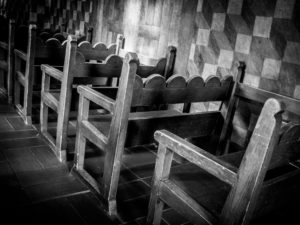
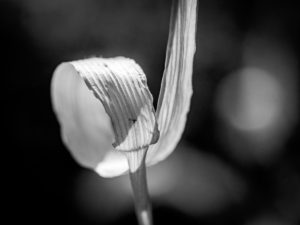
 Black and white can be a good choice if you can’t quite get the colors right.
 On the way to Monument Valley, you have to drive through Kayenta. Just outside of Kayenta is Agathla Peak which rises over 1500 feet above the surrounding terrain. The mountain is considered sacred by the Navajo.
Agathla Peak is an eroded volcanic plug consisting of volcanic breccia cut by dikes of an unusual igneous rock called Minette. It is one of many such volcanic diatremes that are found in Navajo country. Agathla Peak and Shiprock in New Mexico are the most prominent. These rocks are part of the Navajo Volcanic Field, in the southern Colorado Plateau.

Our hotel in Monument Valley was Goulding’s Lodge. The building was constructed in 1928. The lodge originally served as a trading post and home for the Goulding’s. During the great depression, John Ford was looking for a site to film his movie Stagecoach. Goulding heard of this and immediately went to work capturing photos of Monument Valley to send to John Ford. Ford ended up shooting the film in Monument Valley and came back to produce more, popularizing the area.

 Our afternoon/sunset shoot at the famous mittens.

The next morning we did an early morning truck tour.


One of the stops was John Ford Point. We were lucky enough to arrive and have a model out at the point on his horse.

I followed him as he came off the point. I have no idea how long he and his horse had been out there, standing, gazing at the amazing beauty. Turns out he’s a third-grader from Flagstaff!! He was out on the Rez visiting his cousin.


The local cafe was not yet open.

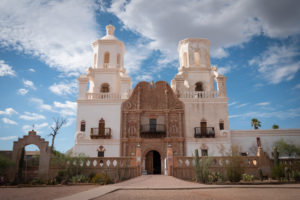
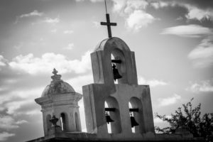
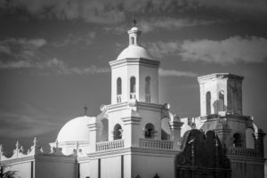
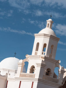
From Monument Valley, we headed over to Chinle and Canyon de Chelley.

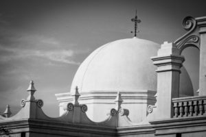
Here is an example of turning a photo into a monochrome. I wasn’t happy with the colors of the one above. I think black and white is much more dramatic.
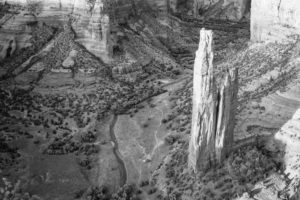
Our visit to Canyon de Chelley allowed for a sunset and a sunrise shoot. We did not have time to enter the canyons as we did on the five-day Canyon de Chelley workshop the previous year.


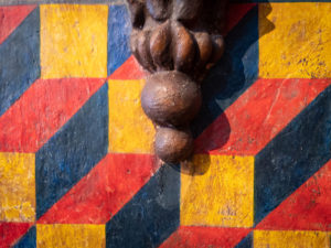
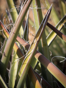
Again, pay attention to the details.

 Shooting from one of the rim viewpoints.
 People still live at the bottom of the canyons. Can you find the house?

We stopped in Winslow and ate lunch at La Posada.

It was a great trip full of wonderful memories with amazing people.
May you have epic adventures in these COVID times and stay safe out there!
Happy Shooting!!


 Tuesday morning found us at the now famed Horseshoe Bend. This once dirt parking lot and trail is now a pay lot with porta-potties and a paved trail with shaded benches to the rim with railing. It’s become quite popular.


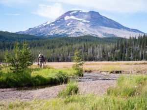
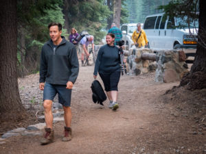 Heading off on the little wildflower hike with our fearless leader.
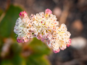
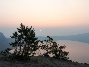
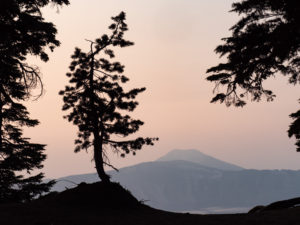
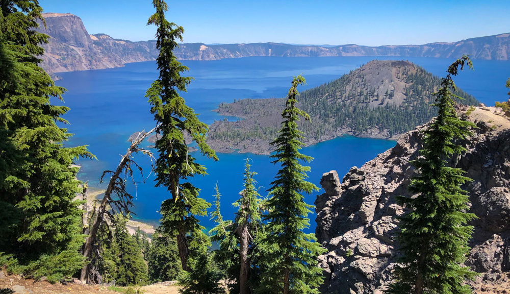
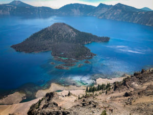
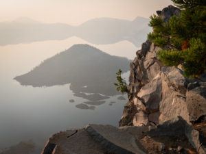
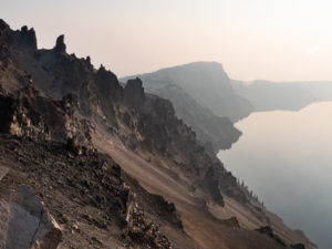
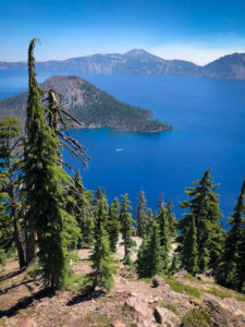
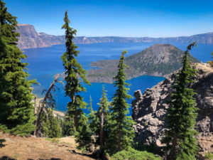
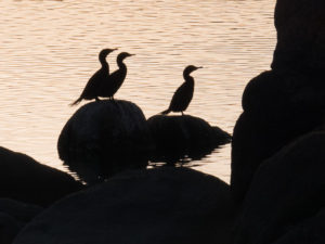
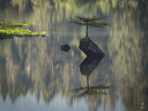
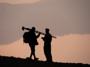 I got some great silhouettes as our photographers attempted to capture images of the lake.
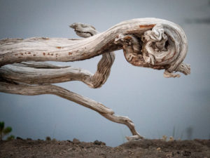
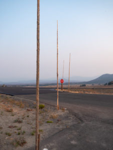 We kept driving by these poles all over the park. Apparently, they are snow poles so you can see where the road is when it snows! Imagine that much snow!! Hence why the park closes for winter.
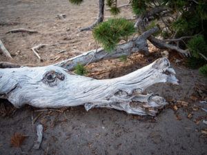 Faces were everywhere.
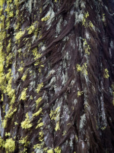 This tree looked like it was growing a fur coat for winter. One side had dark hairy looking moss and the other side bright green.
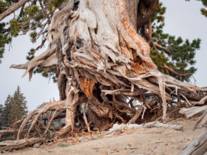
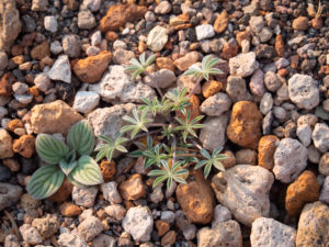 In this area of the park orange and white pumice were everywhere. It’s always interesting to me to see where plants take root.

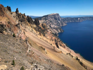
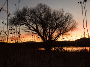 Winter hours have the park closing at 6:00 pm which is plenty of time to catch the sunset without having to stay out too late.
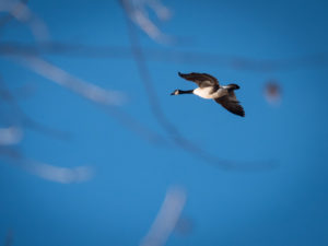
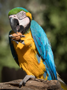
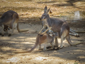 As you walk through the Down Under enclosure the kangaroos and wallabies are literally just behind a single rope fence.
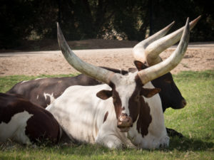
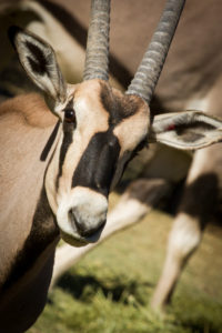
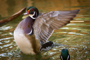
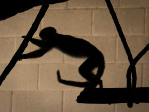 The monkeys have various islands throughout the park.
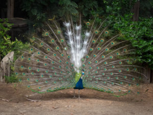
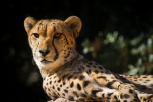
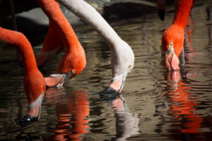 The flamingo exhibit right at the front entrance provides for some great reflection images.
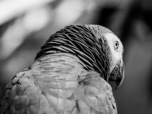
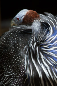 There is a walk-through aviary with some pretty exotic birds in it.
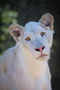
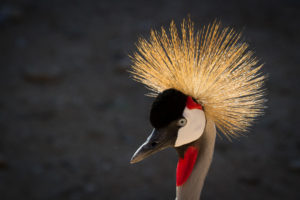 So regal.
 Who doesn’t like a happy ostrich?
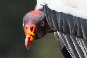 Yikes!
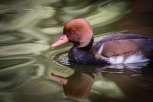


 El Paso and Juarez are sister cities. Also, I had NO IDEA Fort Bliss was in El Paso.


 It looks like snow but it was hot. It was very stark and very white. The sand is crushed gypsum.
 Don’t even know how a mushroom grew here.
 Improvising to be able to see the screen on the back of her camera.
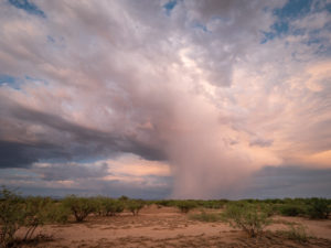
 See the rainbow?!? It is really special to be out here and get storm clouds. That didn’t happen for us.
 Saturday was supposed to be a hot air balloon festival. Colorful balloons floating over white dunes…spectacular. But it was too windy. I had to settle for this kite.


 Question of the day: With not a tree in sight…where on EARTH did this leaf come from??
 Keeping the roads clear of sand, it’s a thing. Snowplow turned sand plow?
 Probably my favorite image of the trip (landscape wise at least).

 Reminds me of The Flintstones.
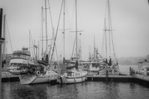
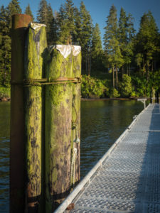
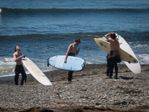
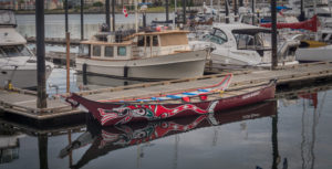 I could shoot boats all day long.
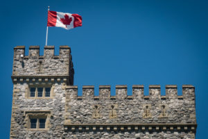
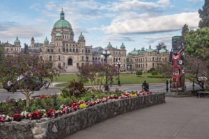 The Parliament Building was amazing.
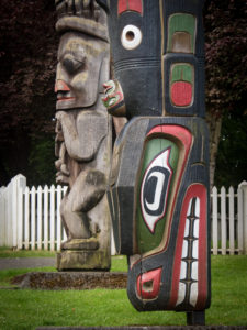
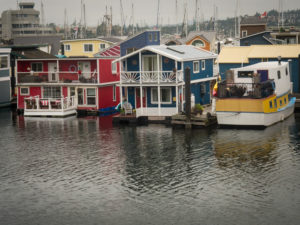
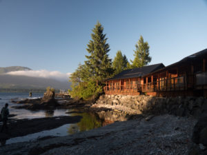 Yes, we stayed n these cabins. Check out the low tide.
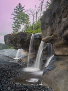
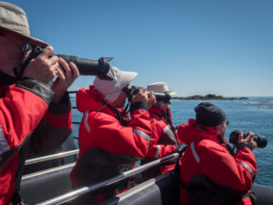
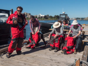 We each had to wear these survival suits. They were really hot but would save our lives should we end up in the ocean.
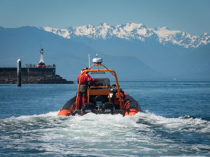
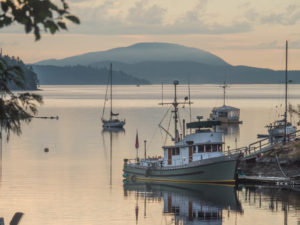
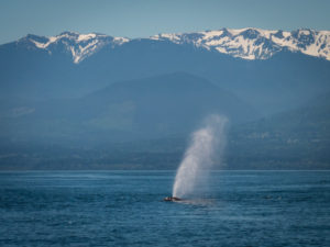
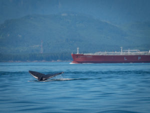 Ocean-going tankers and whale collisions is a real problem.
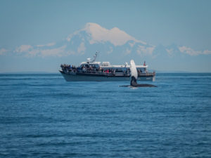 Another tour boat.
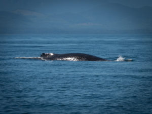


 To the right, you can see some blue rafts. These private boaters packed the night before and launched later that morning.

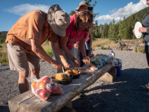
 Here we are having breakfast with Gary. He ran out to his car, grabbed some books, signed them, and sold them. He’s a great storyteller and was fun to hang out with.


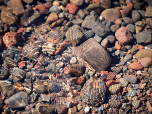
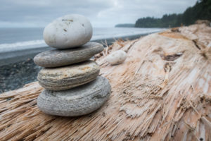
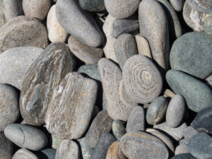
 I like pebbles.