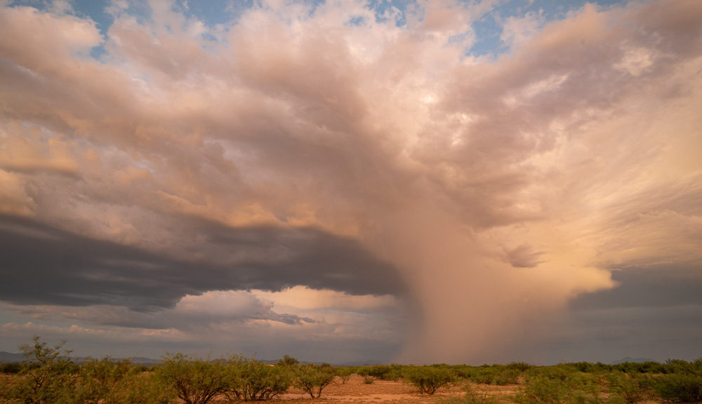
We decided to spend New Year’s Eve camping. We thought we’d usher out the crazy year of 2020 and welcome 2021 in the great outdoors. It was cold where we live and we figured anything south of Flagstaff, Arizona would be warm. Think again.
You are about to join me on a classic scouting trip to Patagonia Lake State Park in southern Arizona. It was an amazing trip and we learned a LOT. We also learned to check the elevation of locations, especially for winter temperatures.
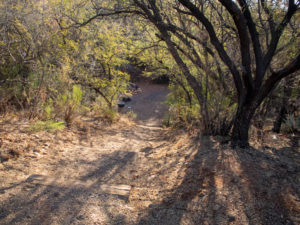
The park is a five-hour drive from our home in Flagstaff, Arizona. We made it even longer by “swinging by” Fountain Hills to visit a dear friend on the way down. When we finally arrived about an hour before sunset, here, to our horror, is what we found.
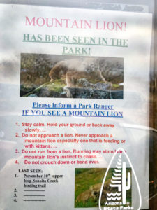
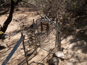
This is the sign that greeted us as we entered the park. We missed the rangers so we figured we’d locate our camp site and get our tags the next morning.
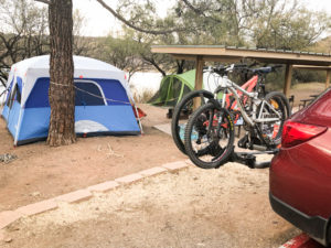
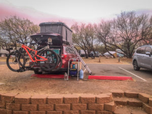
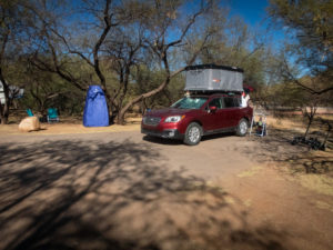
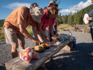
We sleep in a rooftop tent. Our bikes hang off the back and still provide us with plenty of room to access our kitchen when the hatch-back is open. We were in spot #104, LITERALLY the worst spot in the whole park. We learned that there is a reason it was the last one available. As we backed in we thought for sure we were doing something wrong as there were tents for site 105 directly behind us. OUR ramada is actually in front of spot #103! WHAT!?!
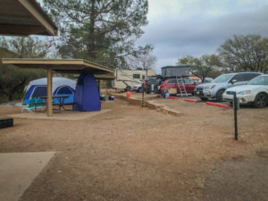
Luckily we had two parking spots so we could drop the ladder that gets us into our home. The ramada you see with the tall tent? That’s us. The tall tent was our Christmas present to ourselves. We use it as a changing room. It couldn’t have been purchased at a more perfect time.
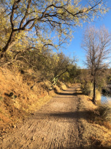
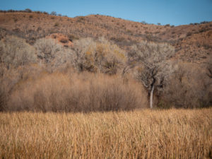
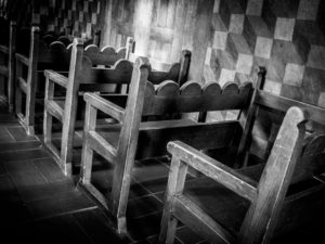
 Another view of our camp.
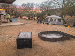
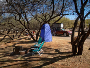
This is our fire pit, RIGHT next to #103 (who was a very nice family by the way). #103 had a little more space as their fire pit was just outside their tent which gave them some room. On the upside? We had a spectacular sunset and the “tent only” camps were right on the lake.
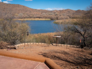
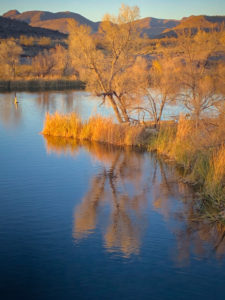
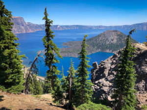
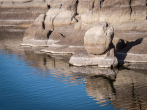
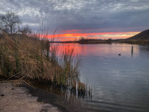 This body of water is only two and a half miles long and 250 surface acres. A bit of a pond compared to what we’re used to at Lake Powell where we spend our summers canoe camping and paddleboarding.
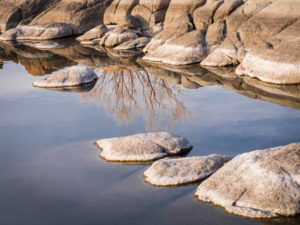
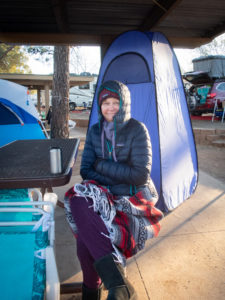 The next morning was cold, like 24 degrees farenheight cold. Since we don’t have a heater in the tent, we got up, made coffee and tea, and went exploring.
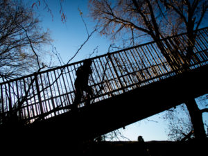
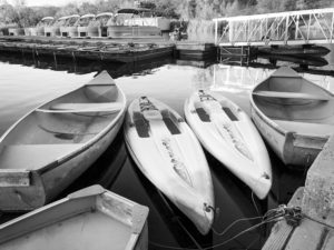
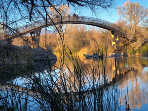
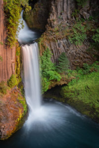
The large arch of a bridge is the most prominent man-made feature of this park (outside of the lake itself). It spans the inlet to the little marina that has a store, boat launch, and dock full of boats to rent from a canoe to a powerboat.
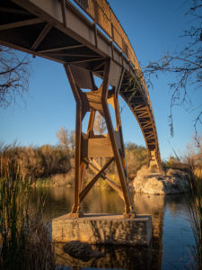
The arch is as dramatic as it seems. Both ends are quite steep and at the top, you get a pretty nice view of the lake.
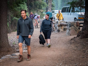
Following the bridge adventure, we began to take back our comments of “We’re NEVER coming here again!” of last night and began to see the beauty of the surrounding area. We headed back to the parking lot, reloaded our tea and coffee mugs, and headed off in another direction.
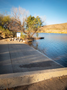 We found the other boat ramp (again, quite small compared to Lake Powell).
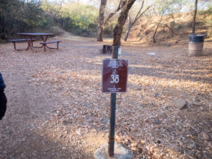
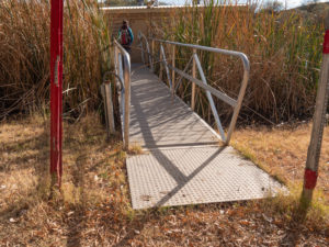
We found camp #38, accessible by water and by car. On the downside you would have to lug all your gear down these steps. On the upside, when you get to the bottom, you have the site to yourself. The sign faces the water to alert incoming boats that it is in fact a campground and not a day-use site.
 Here’s a funny story. We were in the RoofNest last night and Ellen realized she hadn’t taken out her disposable contacts. She decided to just drop them out of the tent and she’d pick them up off the pavement in the morning. Having forgotten all about them we returned after our morning coffee/tea exploration to change out of our winter layers and low and behold! What’s this on the side of the car?? CONTACTS!!
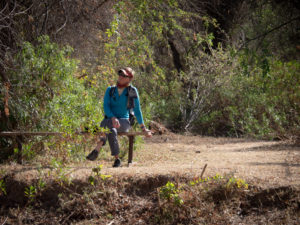
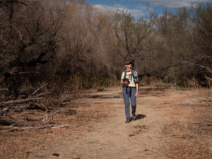
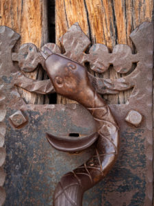
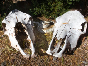 Our next order of business was to get on our bikes and explore the park. Turns out it’s really not a mountain biking park. Lots of trails but not for bikes. Our goal was to ride up to the ranger station to get our tag and explore the RV section for possible future sites. As we left the ranger station I turned to look at the skulls and jumped as the snake caught my attention. I didn’t have time to reason that snakes aren’t out in these cold temperatures.
The other thing we did was ask about moving sites. One of the ones we liked and had passed on the way would be available the next day. One more day in the ghetto! Then…MOVING DAY!!
After dropping off our tag we were off to explore. We encountered some folks that looked like they were heading off for a lengthy hike so we inquired where they might be going. “Oh, there’s a lovely birding trail at the end of the RV section, you should check it out!” they said. And check it out we did!
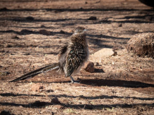 On our way to the trailhead we happened across this roadrunner lurking about the RV’s. We stopped to watch him (or her) and apparently we ruffled its feathers! I’d never seen such a thing in a roadrunner. Fellow birders said it’s common and that roadrunners like to hang out with people and demand food. Who knew?
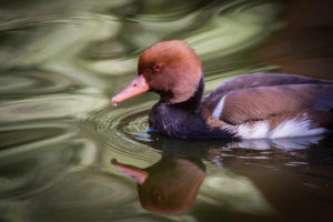
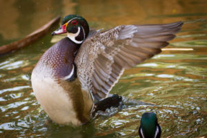
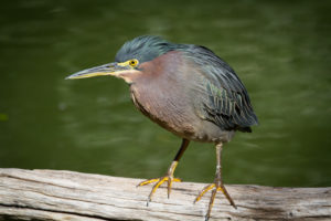
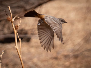
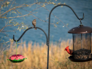
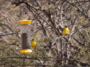
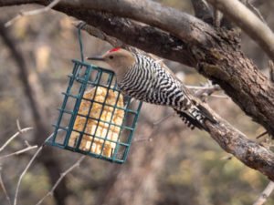
 The entrance to the birding trail has a lovely spot with bird feeders that attract all kinds of feathered friends. It was nice to just sit and watch through binoculars and a longish lens (28-300) and try to capture their antics.
In the winter Patagonia Lake State Park is mainly a birding and fishing destination. The ranger said the campground is full year-round but with very different guests. In the summer you get the “escape the heat” crowd with motorboats and lots of swimming at the designated beach. Winter is full but much quieter with folks and their binoculars and fishing rods.
After a brief stop at the bird feeders, we headed off for our “hike”. Turned out to be more of a walk and much shorter than was indicated by some of our new friends.
The trail descended to a gate that led us directly to the edge of the lake. It was very mucky and full of reeds, cattails, and a few ducks.
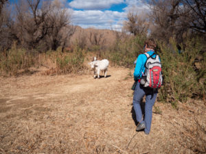 Our trail was blocked by these two calves. Mama was close by so we gently approached the siblings and continued on our way.
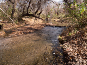
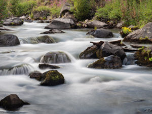
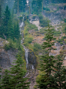
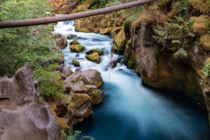
We heard running water and discovered Sonoita Creek which is the drainage that is dammed up to create Patagonia Lake.
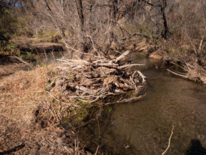 In this image, you can see flood debris probably deposited during the monsoon season.
 There were random benches along the trail.
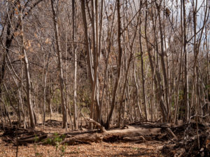 The pathway cut through forests of cottonwood and mesquite. However, in one section was a stand of these trees.
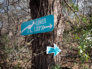 Here’s the funny thing about these signs. There is a Lower Loop and an Upper Loop. They are the same loop. One goes to the right, the other to the left. And there is no elevation change to delineate it as upper or lower. Weird.
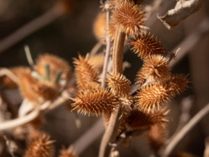 Cockleburs. These were found on the local cows. Poor things. These guys are no fun for dogs to pick up either.
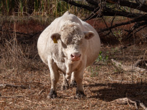 On our way back we ran into this guy. Holy COW!! or STEER!! or BULL!! He was so big I had to photograph him straight on to show his girth! I thought she was pregnant then realized she was a he.
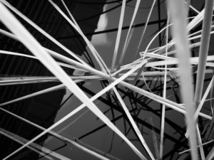
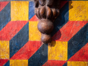
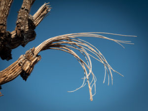
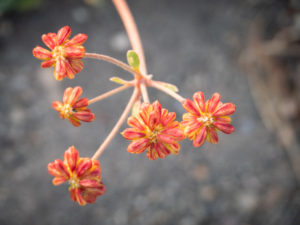
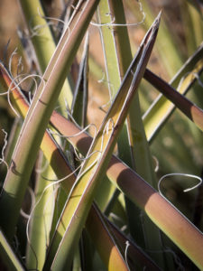
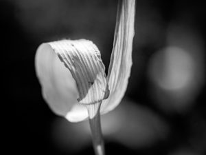
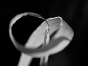
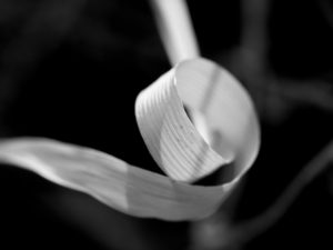
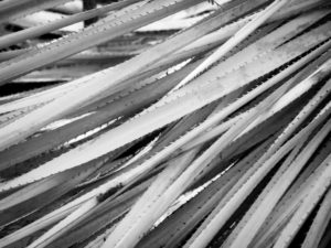 What would a Vicki Shoot be without some patterns?
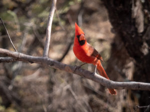 It was on this trip that we decided to become birders. We downloaded the Audubon App and began attempting to identify birds. We started with the easy ones.
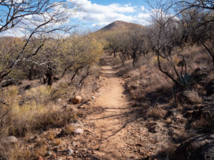
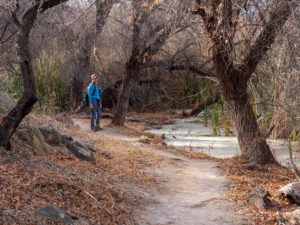
In some areas the foliage was close to the path and in othere it openedd up. We saw several photographers with 600 mm + lenses and many birders with binoculars at the ready.
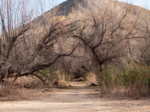 The Mesquite tunnel.
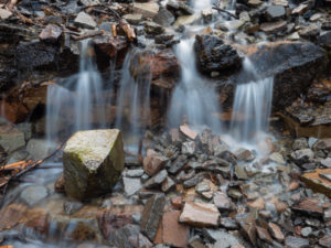
 Some of the mucky water early in the trail.
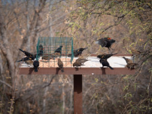
We made it back to the bird feeders and sat for a while to see who showed up. I did my best with my 28-300 mm lens but vowed to look into a good birding lens.
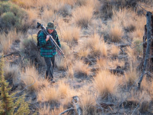
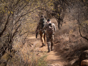 Random bow hunters passing us and heading out onto the trail. They said they were hunting deer and javelina.
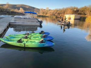
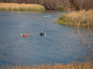 We also vowed to bring our inflatable paddleboards with us next time.

Party at the table top feeder!!
Given how busy our camp was we didn’t spend much time there. Following our bird walk we stopped by the car, grabbed a quick lunch and headed off again to explore the marina.
As I stated earlier the marina is small.
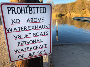 This sign is at the boat ramp.
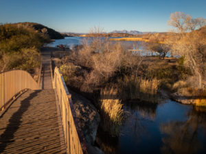
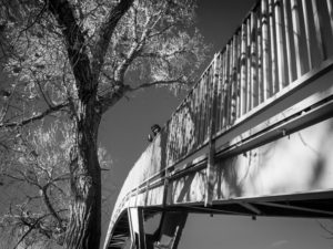
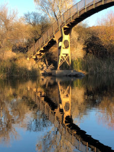
More views of the lovely bridge.
 This is the path running alongside the marina.
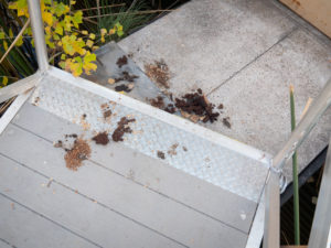
We followed this little ramp only to come upon an area the racoons have deemed their toilet.
 The reeds are pretty.
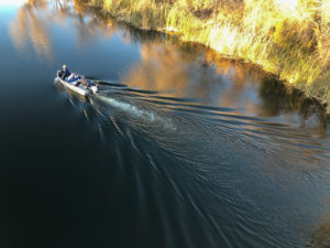
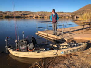 We ran into our #103 neighbor in his rigged out fishing kayak. It seems he grew up coming here from Tucson and is now bringing his wife and own children to his beloved park.
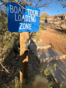 Boat tours? Cool.
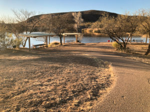
There are a LOT of day-use areas. I’m sure in the summer they are used more. Unfortunately, with Covid, day-use is being heavily restricted.
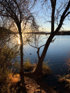
Such a pretty lake. I’m trying to imagine it in the spring or summer when the trees and grasses are green.
MOVING DAY!! This is the site we ended up with. We loved it. However, at 4,000 ft in elevation, the nights and mornings were REALLY cold so, even though the site was spectacualr, we called it a day early, packed up on Sunday instead of Monday and headed home.
But before we did that we went for another walk.
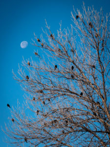
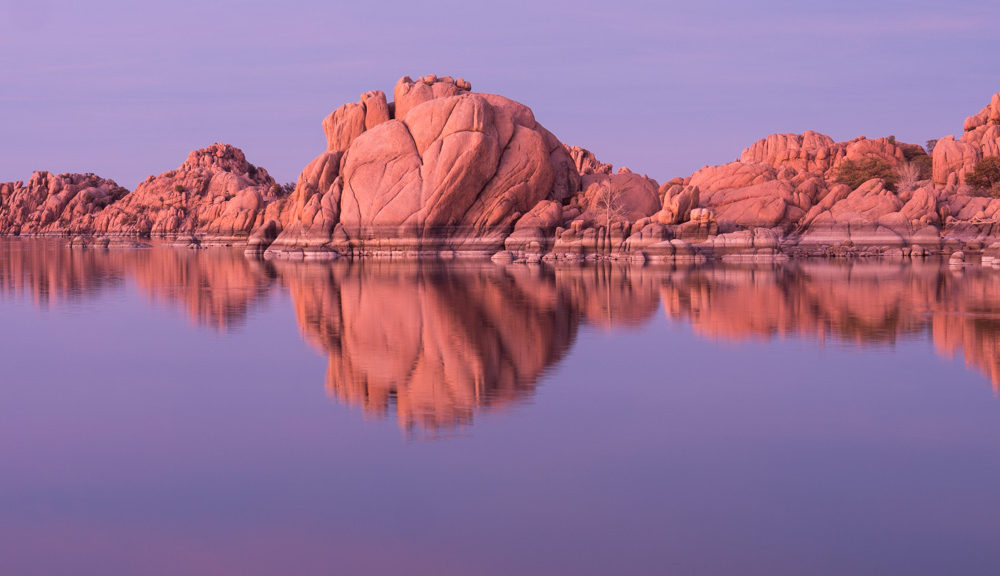
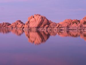
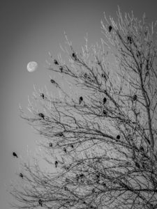 Same picture, color vs black and white. Do you have a preference?
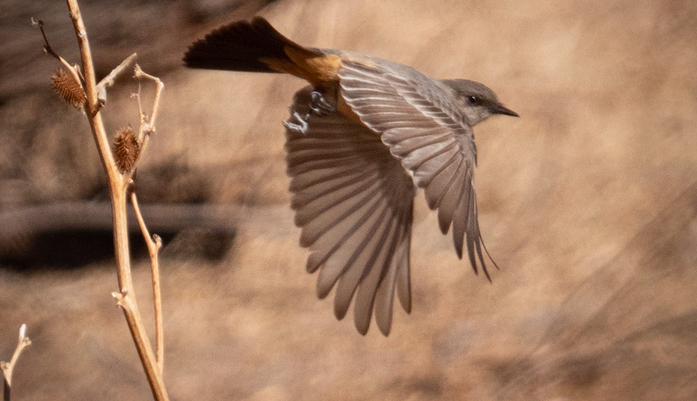
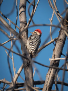 This is why I need a longer lens! Great bird, blurry shot!!
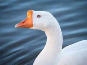
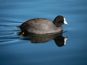 This fellow greeted us down at teh swimming beach. They seemed pretty tame and especting food.
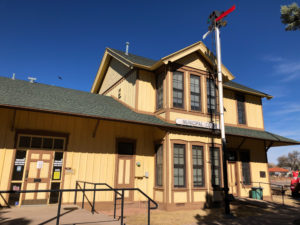
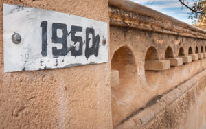
On our way home we went back a different way. The new route took us through the town of Patagonia and on through Sonoita. This building reminded me of the old train station in San Geronimo, Californina located at the Presbytarian church on Sir Francis Drake Blvd.
We grabbed lunch at a local eatery, ate outside on a picnic table and headed back to Flagstaff.
It was a great trip that taught us a lot about the area. We fully intend to return. Next time I hope to have a longer lens to capture the bird life.
Happy shooting!

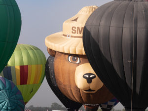
 Without a doubt, you will be there with a whole lot of people, so prepare yourself for the crowds if you are a landscape photographer and used to being by yourself.
 But here’s the cool thing…you are RIGHT down on the launch field mingling around with all of the balloons and their crews. We did not meet a single crew that was not happy to talk with us about ballooning and showed incredible patience in answering everyone’s questions.
 As in landscape photography, the weather will dictate whether the ballons launch or not. Rain, wind and fog are common events that ground the festival.
 The sheer amount of envelopes (that’s what they call the balloon part) and how close they are to each other will blow your mind.


 I’m all about color, patterns and design. It was fun, though, once I got home, to play with black and white on some of the images. I dug the flags.
 At times, as they flew overhead, it seemed you could reach right up and shake the pilot’s hand.


 Walking by the Navy vessels on our way to dinner one night I captured this guy fishing at the base of an aircraft carrier.
 Patterns in nature…
 A more than life-sized statue kissing his girl after returning home from WWII.


 Finding a random California Poppy among all of this cement was pretty cool


 Tuesday morning found us at the now famed Horseshoe Bend. This once dirt parking lot and trail is now a pay lot with porta-potties and a paved trail with shaded benches to the rim with railing. It’s become quite popular.


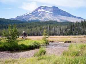
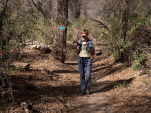
 Heading off on the little wildflower hike with our fearless leader.
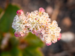
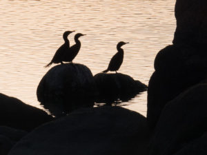
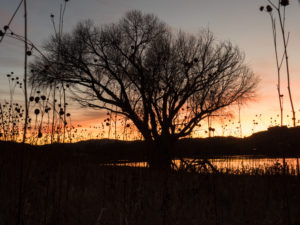
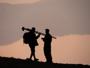 I got some great silhouettes as our photographers attempted to capture images of the lake.
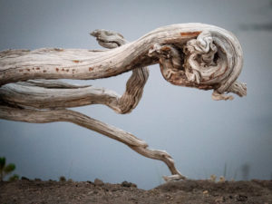
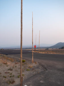 We kept driving by these poles all over the park. Apparently, they are snow poles so you can see where the road is when it snows! Imagine that much snow!! Hence why the park closes for winter.
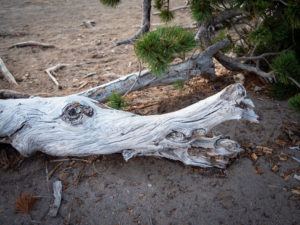 Faces were everywhere.
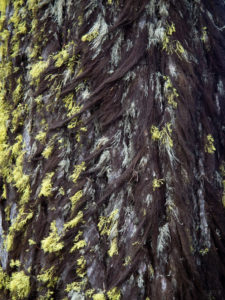 This tree looked like it was growing a fur coat for winter. One side had dark hairy looking moss and the other side bright green.
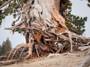
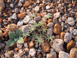 In this area of the park orange and white pumice were everywhere. It’s always interesting to me to see where plants take root.
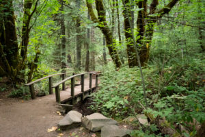

 Such an interesting combination of sign and statue. Like…are you welcoming me to…the end? Yikes!

 Here are some plants and a pet that requires little attention.


 Winter hours have the park closing at 6:00 pm which is plenty of time to catch the sunset without having to stay out too late.
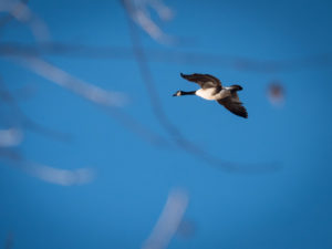
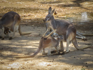 As you walk through the Down Under enclosure the kangaroos and wallabies are literally just behind a single rope fence.
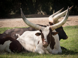
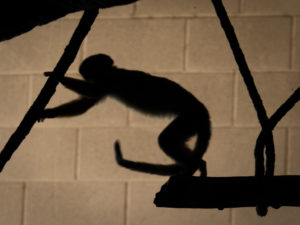 The monkeys have various islands throughout the park.
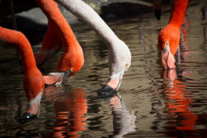 The flamingo exhibit right at the front entrance provides for some great reflection images.
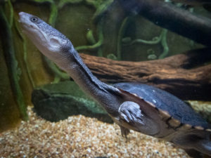
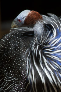 There is a walk-through aviary with some pretty exotic birds in it.
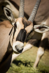
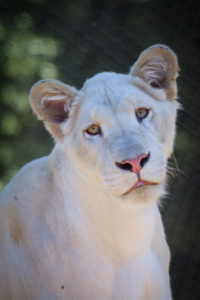
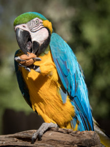
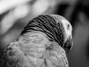
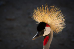 So regal.
 Who doesn’t like a happy ostrich?
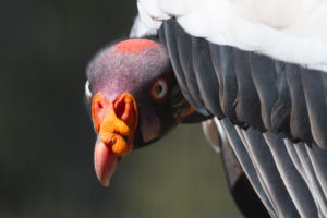 Yikes!